Earthquake SOUTH OF JAVA, INDONESIA
Sat, 13 Feb 2016 20:45:38 GMT
Time10 years ago
Location
-9.5300, 108.5500
Depth
30.0 KM
Event Summary
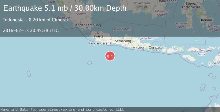
A 5.1 magnitude earthquake struck on SOUTH OF JAVA, INDONESIA, at Sat, 13 Feb 2016 20:45:38 GMT. Depth: 30km. Reviewed by EMSC seismologists, this moderate quake occurred at a magnitude type of mb.
Magnitude
5.1
mb
Source
EMSC
Intensity
-
Agency Reports
1 Sources| Source | Magnitude | Depth | Time |
|---|---|---|---|
| EMSCPrimary | 5.1 | 30 km | 10 years ago |
Earthquake Details
AutomaticEvent IDemsc_EMSC_20160213_0000078
Tsunami PotentialNo
Magnitude Typemb
Nearest Places
- Java Ridge49.5 km
- Sunda Trough129.9 km
- Umbgrove Seamount161.4 km
- Cikupa191.2 km
- Desa Legokjawa191.2 km
Comments
Join the discussion about this event.
Latest Earthquakes
3.8Mag
Tarapaca, Chile
Time1 hour ago
Depth93.51 km
SourceVYT (Automatic)
2.5Mag
Ceram Sea
Time1 hour ago
Depth3.27 km
SourceBMKG
2.1Mag
Halmahera, Indonesia
Time1 hour ago
Depth4.45 km
SourceBMKG
3.4Mag
Talaud Islands, Indonesia
Time1 hour ago
Depth98.99 km
SourceBMKG
2.1Mag
Flores Region, Indonesia
Time1 hour ago
Depth165.90 km
SourceBMKG
Nearby Earthquakes
5.0Mag
SOUTH OF JAVA, INDONESIA
Time18 years ago
Depth80.00 km
SourceEMSC (Automatic)
5.6Mag
SOUTH OF JAVA, INDONESIA
Time6 years ago
Depth10.00 km
SourceEMSC (Automatic)
5.2Mag
SOUTH OF JAVA, INDONESIA
Time19 years ago
Depth30.00 km
SourceEMSC (Automatic)
3.8Mag
South of Java, Indonesia
Time1 week ago
Depth10.00 km
SourceBMKG (Automatic)
5.2Mag
SOUTH OF JAVA, INDONESIA
Time19 years ago
Depth10.00 km
SourceEMSC (Automatic)