Earthquake KEPULAUAN BARAT DAYA, INDONESIA
Sat, 20 Feb 2016 11:08:37 GMT
Time10 years ago
Location
-7.5600, 128.2600
Depth
155.0 KM
Event Summary
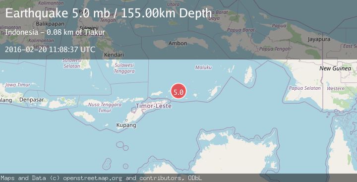
A 5.0 magnitude earthquake struck on KEPULAUAN BARAT DAYA, INDONESIA, at Sat, 20 Feb 2016 11:08:37 GMT. Depth: 155km. Reviewed by EMSC seismologists, this moderate quake occurred at a magnitude type of mb.
Magnitude
5.0
mb
Source
EMSC
Intensity
-
Agency Reports
1 Sources| Source | Magnitude | Depth | Time |
|---|---|---|---|
| EMSCPrimary | 5.0 | 155 km | 10 years ago |
Earthquake Details
AutomaticEvent IDemsc_EMSC_20160220_0000042
Tsunami PotentialNo
Magnitude Typemb
Nearest Places
- Kepulauan Barat Daya32.8 km
- Pulau Terbang Selatan39.2 km
- Pulau Musleur40.8 km
- Pulau Terbang Utara44.3 km
- Tanjung Tutitlakani55.2 km
Comments
Join the discussion about this event.
Latest Earthquakes
1.7Mag
western Texas
Time4 minutes ago
Depth3.42 km
SourceVYT (Automatic)
3.5Mag
Seram, Indonesia
Time6 minutes ago
Depth0.00 km
SourceVYT (Automatic)
1.6Mag
54 km WNW of Toyah, Texas
Time12 minutes ago
Depth0.00 km
SourceUSGS (Automatic)
2.2Mag
West Papua Region, Indonesia
Time13 minutes ago
Depth26.69 km
SourceBMKG
1.2Mag
WESTERN TURKEY
Time14 minutes ago
Depth7.00 km
SourceAFAD (Automatic)
Nearby Earthquakes
4.0Mag
KEPULAUAN BARAT DAYA, INDONESIA
Time10 months ago
Depth143.00 km
SourceBMKG (Automatic)
5.2Mag
KEPULAUAN BARAT DAYA, INDONESIA
Time8 years ago
Depth158.00 km
SourceEMSC (Automatic)
5.1Mag
KEPULAUAN BARAT DAYA, INDONESIA
Time13 years ago
Depth150.00 km
SourceEMSC (Automatic)
4.0Mag
KEPULAUAN BARAT DAYA, INDONESIA
Time10 months ago
Depth159.00 km
SourceBMKG (Automatic)
5.5Mag
KEPULAUAN BARAT DAYA, INDONESIA
Time16 years ago
Depth166.00 km
SourceEMSC (Automatic)