Earthquake SOUTHERN SUMATRA, INDONESIA
Thu, 12 Jan 2017 13:29:09 GMT
Time9 years ago
Location
-5.2500, 102.7800
Depth
52.0 KM
Event Summary
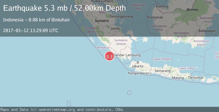
A 5.3 magnitude earthquake struck on SOUTHERN SUMATRA, INDONESIA, at Thu, 12 Jan 2017 13:29:09 GMT. Depth: 52km. Reviewed by EMSC seismologists, this moderate quake occurred at a magnitude type of mb.
Magnitude
5.3
mb
Source
EMSC
Intensity
-
Agency Reports
1 Sources| Source | Magnitude | Depth | Time |
|---|---|---|---|
| EMSCPrimary | 5.3 | 52 km | 9 years ago |
Earthquake Details
AutomaticEvent IDemsc_EMSC_20170112_0000067
Tsunami PotentialNo
Magnitude Typemb
Nearest Places
- Tanjung Kaana45.1 km
- Teluk Enggano45.5 km
- Tanjung Kanuhujo45.9 km
- Pulaudua47.6 km
- Kajaapu47.6 km
Comments
Join the discussion about this event.
Latest Earthquakes
2.5Mag
Tarapaca, Chile
Time1 minute ago
Depth112.55 km
SourceVYT (Automatic)
2.2Mag
Tarapaca, Chile
Time6 minutes ago
Depth111.94 km
SourceVYT (Automatic)
1.9Mag
Central Alaska
Time7 minutes ago
Depth32.10 km
SourceVYT (Automatic)
3.4Mag
HAWAII REGION, HAWAII
Time7 minutes ago
Depth4.70 km
SourceHV (Automatic)
1.9Mag
STRAIT OF GIBRALTAR
Time11 minutes ago
Depth0.00 km
SourceIGN (Automatic)
Nearby Earthquakes
3.0Mag
SOUTHERN SUMATRA, INDONESIA
Time1 month ago
Depth29.00 km
SourceBMKG (Automatic)
3.0Mag
SOUTHERN SUMATRA, INDONESIA
Time2 months ago
Depth9.00 km
SourceBMKG (Automatic)
3.3Mag
SOUTHERN SUMATRA, INDONESIA
Time1 month ago
Depth29.00 km
SourceBMKG (Automatic)
5.0Mag
SOUTHERN SUMATRA, INDONESIA
Time19 years ago
Depth30.00 km
SourceEMSC (Automatic)
3.0Mag
SOUTHERN SUMATRA, INDONESIA
Time1 year ago
Depth10.00 km
SourceBMKG (Automatic)