Earthquake NORTHERN SUMATRA, INDONESIA
Thu, 12 Jan 2017 19:19:55 GMT
Time9 years ago
Location
5.6100, 94.5500
Depth
80.0 KM
Event Summary
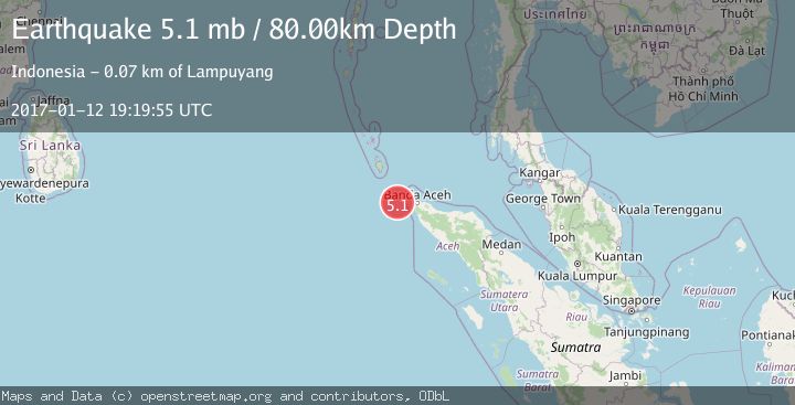
A 5.1 magnitude earthquake struck on NORTHERN SUMATRA, INDONESIA, at Thu, 12 Jan 2017 19:19:55 GMT. Depth: 80km. Reviewed by EMSC seismologists, this moderate quake occurred at a magnitude type of mb.
Magnitude
5.1
mb
Source
EMSC
Intensity
-
Agency Reports
1 Sources| Source | Magnitude | Depth | Time |
|---|---|---|---|
| EMSCPrimary | 5.1 | 80 km | 9 years ago |
Earthquake Details
AutomaticEvent IDemsc_EMSC_20170112_0000089
Tsunami PotentialNo
Magnitude Typemb
Nearest Places
- Terumbu Sarang50.4 km
- Pulau Benggala50.8 km
- Pulau Mirah52.4 km
- Ujung Silalang52.6 km
- Pulau Sidom53.0 km
Comments
Join the discussion about this event.
Latest Earthquakes
3.3Mag
BOSNIA AND HERZEGOVINA
Time4 minutes ago
Depth10.00 km
SourceRHMS (Automatic)
2.2Mag
PORTUGAL
Time11 minutes ago
Depth12.00 km
SourceIPMA (Automatic)
4.2Mag
Fox Islands, Aleutian Islands, Alaska
Time11 minutes ago
Depth0.00 km
SourceVYT (Automatic)
1.8Mag
Sweden
Time12 minutes ago
Depth0.00 km
SourceVYT (Automatic)
2.0Mag
Bali Region, Indonesia
Time12 minutes ago
Depth73.97 km
SourceBMKG
Nearby Earthquakes
5.4Mag
NORTHERN SUMATRA, INDONESIA
Time21 years ago
Depth33.00 km
SourceEMSC (Automatic)
5.9Mag
NORTHERN SUMATRA, INDONESIA
Time21 years ago
Depth10.00 km
SourceEMSC (Automatic)
5.2Mag
NORTHERN SUMATRA, INDONESIA
Time19 years ago
Depth60.00 km
SourceEMSC (Automatic)
5.2Mag
NORTHERN SUMATRA, INDONESIA
Time21 years ago
Depth33.00 km
SourceEMSC (Automatic)
5.0Mag
NORTHERN SUMATRA, INDONESIA
Time19 years ago
Depth49.00 km
SourceEMSC (Automatic)