Earthquake MOLUCCA SEA
Fri, 13 Jan 2017 16:39:25 GMT
Time9 years ago
Location
-0.0300, 125.1100
Depth
48.0 KM
Event Summary
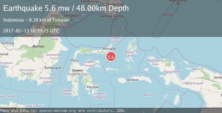
A 5.6 magnitude earthquake struck on MOLUCCA SEA, at Fri, 13 Jan 2017 16:39:25 GMT. Depth: 48km. Reviewed by EMSC seismologists, this moderate quake occurred at a magnitude type of mw.
Magnitude
5.6
mw
Source
EMSC
Intensity
-
Agency Reports
1 Sources| Source | Magnitude | Depth | Time |
|---|---|---|---|
| EMSCPrimary | 5.6 | 48 km | 9 years ago |
Earthquake Details
AutomaticEvent IDemsc_EMSC_20170113_0000067
Tsunami PotentialNo
Magnitude Typemw
Nearest Places
- 85.6 km
- 86.8 km
- 87.3 km
- 88.0 km
- 88.1 km
Comments
Join the discussion about this event.
Latest Earthquakes
3.1Mag
Central Alaska
Time1 hour ago
Depth7.81 km
SourceVYT (Automatic)
2.0Mag
Sweden
Time1 hour ago
Depth0.00 km
SourceVYT (Automatic)
1.7Mag
Southern Alaska
Time1 hour ago
Depth9.03 km
SourceVYT (Automatic)
2.3Mag
ISLAND OF HAWAII, HAWAII
Time1 hour ago
Depth29.00 km
SourceHV (Automatic)
1.5Mag
Central Alaska
Time1 hour ago
Depth48.22 km
SourceVYT (Automatic)
Nearby Earthquakes
3.1Mag
MOLUCCA SEA
Time1 month ago
Depth4.00 km
SourceBMKG (Automatic)
5.7Mag
MOLUCCA SEA
Time15 years ago
Depth27.00 km
SourceEMSC (Automatic)
5.9Mag
MOLUCCA SEA
Time15 years ago
Depth46.00 km
SourceEMSC (Automatic)
5.2Mag
MOLUCCA SEA
Time11 years ago
Depth52.00 km
SourceEMSC (Automatic)
5.2Mag
MOLUCCA SEA
Time15 years ago
Depth51.00 km
SourceEMSC (Automatic)