Earthquake MOLUCCA SEA
Wed, 04 Feb 2015 17:41:44 GMT
Time11 years ago
Location
-0.1200, 125.1100
Depth
52.0 KM
Event Summary
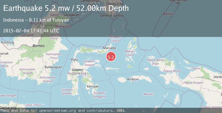
A 5.2 magnitude earthquake struck on MOLUCCA SEA, at Wed, 04 Feb 2015 17:41:44 GMT. Depth: 52km. Reviewed by EMSC seismologists, this moderate quake occurred at a magnitude type of mw.
Magnitude
5.2
mw
Source
EMSC
Intensity
-
Agency Reports
1 Sources| Source | Magnitude | Depth | Time |
|---|---|---|---|
| EMSCPrimary | 5.2 | 52 km | 11 years ago |
Earthquake Details
AutomaticEvent IDemsc_EMSC_20150204_0000062
Tsunami PotentialNo
Magnitude Typemw
Nearest Places
- Batu Mandi92.4 km
- Tanjung Flesko93.6 km
- Tanjung Palureoi94.1 km
- Pulau Lampu94.5 km
- Tanjung Payongan94.9 km
Comments
Join the discussion about this event.
Latest Earthquakes
3.8Mag
Tarapaca, Chile
Time3 minutes ago
Depth93.51 km
SourceVYT (Automatic)
2.5Mag
Ceram Sea
Time5 minutes ago
Depth3.27 km
SourceBMKG
2.1Mag
Halmahera, Indonesia
Time7 minutes ago
Depth4.45 km
SourceBMKG
3.4Mag
Talaud Islands, Indonesia
Time11 minutes ago
Depth98.99 km
SourceBMKG
2.1Mag
Flores Region, Indonesia
Time12 minutes ago
Depth165.90 km
SourceBMKG
Nearby Earthquakes
5.2Mag
MOLUCCA SEA
Time15 years ago
Depth51.00 km
SourceEMSC (Automatic)
5.0Mag
MOLUCCA SEA
Time15 years ago
Depth64.00 km
SourceEMSC (Automatic)
5.7Mag
MOLUCCA SEA
Time11 years ago
Depth54.00 km
SourceEMSC (Automatic)
5.9Mag
MOLUCCA SEA
Time15 years ago
Depth46.00 km
SourceEMSC (Automatic)
4.0Mag
MOLUCCA SEA
Time6 years ago
Depth10.00 km
SourceDJA (Automatic)