Earthquake SUMBAWA REGION, INDONESIA
Mon, 13 Feb 2017 03:08:35 GMT
Time9 years ago
Location
-8.1400, 117.6600
Depth
224.0 KM
Event Summary
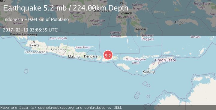
A 5.2 magnitude earthquake struck on SUMBAWA REGION, INDONESIA, at Mon, 13 Feb 2017 03:08:35 GMT. Depth: 224km. Reviewed by EMSC seismologists, this moderate quake occurred at a magnitude type of mb.
Magnitude
5.2
mb
Source
EMSC
Intensity
-
Agency Reports
1 Sources| Source | Magnitude | Depth | Time |
|---|---|---|---|
| EMSCPrimary | 5.2 | 224 km | 9 years ago |
Earthquake Details
AutomaticEvent IDemsc_EMSC_20170213_0000032
Tsunami PotentialNo
Magnitude Typemb
Nearest Places
- Tanjung Panda1.1 km
- Teluk Patedong1.5 km
- Patedong1.5 km
- Rasabau1.9 km
- Binakarya2.6 km
Comments
Join the discussion about this event.
Latest Earthquakes
1.2Mag
Southern Alaska
Time5 minutes ago
Depth37.11 km
SourceVYT (Automatic)
3.0Mag
Seram, Indonesia
Time5 minutes ago
Depth12.36 km
SourceBMKG
1.1Mag
Washington
Time10 minutes ago
Depth9.64 km
SourceVYT (Automatic)
1.3Mag
WESTERN TURKEY
Time10 minutes ago
Depth8.60 km
SourceAFAD (Automatic)
1.9Mag
32 km NW of Toyah, Texas
Time12 minutes ago
Depth4.09 km
SourceUSGS (Automatic)
Nearby Earthquakes
2.1Mag
Sumbawa Region, Indonesia
Time2 weeks ago
Depth10.00 km
SourceBMKG (Automatic)
2.2Mag
Sumbawa Region, Indonesia
Time1 week ago
Depth5.83 km
SourceBMKG
5.7Mag
SUMBAWA REGION, INDONESIA
Time17 years ago
Depth15.00 km
SourceEMSC (Automatic)
2.4Mag
Sumbawa Region, Indonesia
Time1 week ago
Depth24.18 km
SourceBMKG
2.0Mag
Sumbawa Region, Indonesia
Time1 week ago
Depth12.75 km
SourceBMKG (Automatic)