Earthquake Sumbawa Region, Indonesia
Sat, 07 Feb 2026 20:13:13 GMT
Time1 hour ago
Location
-8.1494, 117.6984
Depth
12.8 KM
Event Summary
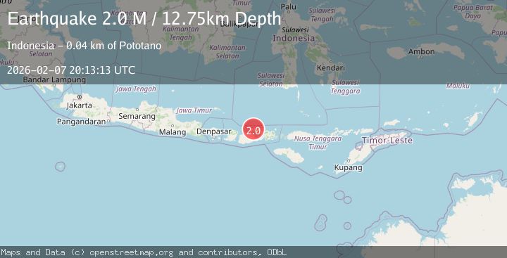
A 2.0 magnitude earthquake struck on Sumbawa Region, Indonesia, at Sat, 07 Feb 2026 20:13:13 GMT. Depth: 12.753752km. Reviewed by BMKG seismologists, this minor quake occurred at a magnitude type of M.
Magnitude
2.0
M
Source
BMKG
Intensity
-
Agency Reports
1 Sources| Source | Magnitude | Depth | Time |
|---|---|---|---|
| BMKGPrimary | 2.0 | 13 km | 1 hour ago |
Earthquake Details
AutomaticEvent IDbmg2026crdq
Tsunami PotentialNo
Magnitude TypeM
Nearest Places
- Tanjung Srae2.5 km
- Tanjung Renggencubu2.8 km
- Tanjung Jaga2.8 km
- Teluk Branti3.1 km
- Rasabau3.2 km
Comments
Join the discussion about this event.
Latest Earthquakes
2.0Mag
59 km WNW of Anchor Point, Alaska
Time15 minutes ago
Depth110.00 km
SourceUSGS (Automatic)
1.9Mag
10 km NW of Stockdale, Texas
Time19 minutes ago
Depth5.00 km
SourceUSGS (Automatic)
2.6Mag
South of Java, Indonesia
Time27 minutes ago
Depth10.00 km
SourceBMKG (Automatic)
2.0Mag
Flores Region, Indonesia
Time30 minutes ago
Depth21.31 km
SourceBMKG (Automatic)
1.7Mag
29 km SE of Mina, Nevada
Time30 minutes ago
Depth3.06 km
SourceUSGS (Automatic)
Nearby Earthquakes
2.2Mag
Sumbawa Region, Indonesia
Time2 weeks ago
Depth10.00 km
SourceBMKG (Automatic)
2.1Mag
Sumbawa Region, Indonesia
Time1 day ago
Depth10.00 km
SourceBMKG (Automatic)
2.1Mag
Sumbawa Region, Indonesia
Time1 week ago
Depth10.00 km
SourceBMKG (Automatic)
2.1Mag
Sumbawa Region, Indonesia
Time4 days ago
Depth10.00 km
SourceBMKG (Automatic)
3.0Mag
Sumbawa Region, Indonesia
Time1 week ago
Depth19.21 km
SourceBMKG (Automatic)