Earthquake DODECANESE IS.-TURKEY BORDER REG
Mon, 14 Aug 2017 05:40:16 GMT
Time8 years ago
Location
36.9700, 27.6800
Depth
5.0 KM
Event Summary
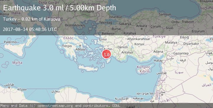
A 3.0 magnitude earthquake struck on DODECANESE IS.-TURKEY BORDER REG, at Mon, 14 Aug 2017 05:40:16 GMT. Depth: 5km. Reviewed by EMSC seismologists, this minor quake occurred at a magnitude type of ml.
Magnitude
3.0
ml
Source
EMSC
Intensity
-
Agency Reports
1 Sources| Source | Magnitude | Depth | Time |
|---|---|---|---|
| EMSCPrimary | 3.0 | 5 km | 8 years ago |
Earthquake Details
AutomaticEvent IDemsc_EMSC_20170814_0000046
Tsunami PotentialNo
Magnitude Typeml
Nearest Places
- Yıldız Adaları2.3 km
- Koca Burun3.1 km
- Hurma Burnu5.4 km
- Armutcuk5.7 km
- Alakilise5.8 km
Comments
Join the discussion about this event.
Latest Earthquakes
1.0Mag
6 km SSW of Redlands, CA
Time3 minutes ago
Depth10.39 km
SourceUSGS (Automatic)
1.9Mag
Central Alaska
Time6 minutes ago
Depth7.57 km
SourceVYT (Automatic)
1.5Mag
Central California
Time7 minutes ago
Depth0.00 km
SourceVYT (Automatic)
0.7Mag
Washington
Time8 minutes ago
Depth0.00 km
SourceVYT (Automatic)
2.8Mag
Antofagasta, Chile
Time11 minutes ago
Depth102.66 km
SourceVYT (Automatic)
Nearby Earthquakes
4.0Mag
DODECANESE IS.-TURKEY BORDER REG
Time4 years ago
Depth6.00 km
SourceEMSC (Automatic)
3.0Mag
DODECANESE IS.-TURKEY BORDER REG
Time4 years ago
Depth12.00 km
SourceTHE (Automatic)
3.0Mag
DODECANESE IS.-TURKEY BORDER REG
Time8 years ago
Depth9.00 km
SourceEMSC (Automatic)
3.0Mag
DODECANESE ISLANDS, GREECE
Time21 years ago
Depth5.00 km
SourceEMSC (Automatic)
3.0Mag
DODECANESE IS.-TURKEY BORDER REG
Time3 years ago
Depth5.00 km
SourceEMSC (Automatic)