Earthquake SAMOA ISLANDS REGION
Fri, 09 Feb 2018 22:53:07 GMT
Time8 years ago
Location
-15.0400, -172.6700
Depth
10.0 KM
Event Summary
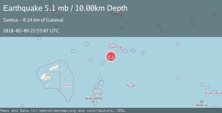
A 5.1 magnitude earthquake struck on SAMOA ISLANDS REGION, at Fri, 09 Feb 2018 22:53:07 GMT. Depth: 10km. Reviewed by EMSC seismologists, this moderate quake occurred at a magnitude type of mb.
Magnitude
5.1
mb
Source
EMSC
Intensity
-
Agency Reports
1 Sources| Source | Magnitude | Depth | Time |
|---|---|---|---|
| EMSCPrimary | 5.1 | 10 km | 8 years ago |
Earthquake Details
AutomaticEvent IDemsc_EMSC_20180209_0000119
Tsunami PotentialNo
Magnitude Typemb
Nearest Places
- 116.1 km
- 138.7 km
- 139.3 km
- 139.6 km
- 139.8 km
Comments
Join the discussion about this event.
Latest Earthquakes
1.9Mag
western Texas
Time2 minutes ago
Depth0.00 km
SourceVYT (Automatic)
3.8Mag
Flores region, Indonesia
Time6 minutes ago
Depth285.03 km
SourceVYT (Automatic)
5.0Mag
267 km WNW of Houma, Tonga
Time15 minutes ago
Depth393.61 km
SourceUSGS
2.1Mag
Finland-Russia border region
Time16 minutes ago
Depth6.47 km
SourceVYT (Automatic)
1.4Mag
Western Australia
Time16 minutes ago
Depth5.98 km
SourceVYT (Automatic)
Nearby Earthquakes
6.6Mag
SAMOA ISLANDS REGION
Time16 years ago
Depth40.00 km
SourceEMSC (Automatic)
5.8Mag
SAMOA ISLANDS REGION
Time5 years ago
Depth26.00 km
SourceEMSC (Automatic)
5.7Mag
SAMOA ISLANDS REGION
Time3 years ago
Depth10.00 km
SourceEMSC (Automatic)
5.4Mag
SAMOA ISLANDS REGION
Time20 years ago
Depth10.00 km
SourceEMSC (Automatic)
5.5Mag
SAMOA ISLANDS REGION
Time17 years ago
Depth10.00 km
SourceEMSC (Automatic)