Earthquake NEAR S COAST OF PAPUA, INDONESIA
Mon, 19 Feb 2018 10:38:37 GMT
Time8 years ago
Location
-4.7900, 132.3900
Depth
44.0 KM
Event Summary
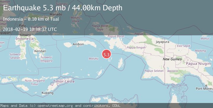
A 5.3 magnitude earthquake struck on NEAR S COAST OF PAPUA, INDONESIA, at Mon, 19 Feb 2018 10:38:37 GMT. Depth: 44km. Reviewed by EMSC seismologists, this moderate quake occurred at a magnitude type of mb.
Magnitude
5.3
mb
Source
EMSC
Intensity
-
Agency Reports
1 Sources| Source | Magnitude | Depth | Time |
|---|---|---|---|
| EMSCPrimary | 5.3 | 44 km | 8 years ago |
Earthquake Details
AutomaticEvent IDemsc_EMSC_20180219_0000085
Tsunami PotentialNo
Magnitude Typemb
Nearest Places
- Pulau Bui55.9 km
- Pulau Tengah56.9 km
- Tanjung Wanatobur57.6 km
- Pulau Uran58.2 km
- Pulau Kaimeer59.0 km
Comments
Join the discussion about this event.
Latest Earthquakes
2.8Mag
Sulawesi, Indonesia
Time1 minute ago
Depth21.08 km
SourceBMKG
2.1Mag
WESTERN TURKEY
Time6 minutes ago
Depth12.30 km
SourceKOERI (Automatic)
2.2Mag
Alaska Peninsula
Time6 minutes ago
Depth57.74 km
SourceVYT (Automatic)
3.7Mag
WESTERN TURKEY
Time8 minutes ago
Depth13.30 km
SourceKOERI (Automatic)
1.6Mag
27 km ESE of Balmorhea, Texas
Time9 minutes ago
Depth3.56 km
SourceUSGS (Automatic)
Nearby Earthquakes
4.0Mag
NEAR S COAST OF PAPUA, INDONESIA
Time0 years ago
Depth44.00 km
SourceBMKG (Automatic)
5.0Mag
NEAR S COAST OF PAPUA, INDONESIA
Time1 year ago
Depth11.40 km
SourceEMSC (Automatic)
5.1Mag
BANDA SEA
Time2 years ago
Depth48.00 km
SourceEMSC (Automatic)
4.0Mag
NEAR S COAST OF PAPUA, INDONESIA
Time11 months ago
Depth65.00 km
SourceBMKG (Automatic)
4.1Mag
KEPULAUAN KAI, INDONESIA
Time1 month ago
Depth69.00 km
SourceBMKG (Automatic)