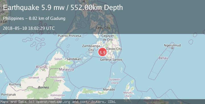
Earthquake MORO GULF, MINDANAO, PHILIPPINES
Thu, 10 May 2018 18:02:29 GMT
Time7 years ago
Location
6.9000, 123.8500
Depth
552.0 KM
Event Summary
A 5.9 magnitude earthquake struck on MORO GULF, MINDANAO, PHILIPPINES, at Thu, 10 May 2018 18:02:29 GMT. Depth: 552km. Reviewed by EMSC seismologists, this moderate quake occurred at a magnitude type of mw.
Magnitude
5.9
mw
Source
EMSC
Intensity
-
Agency Reports
1 Sources| Source | Magnitude | Depth | Time |
|---|---|---|---|
| EMSCPrimary | 5.9 | 552 km | 7 years ago |
Earthquake Details
AutomaticEvent IDemsc_EMSC_20180510_0000144
Tsunami PotentialNo
Magnitude Typemw
Nearest Places
- Resa Bay11.3 km
- Tagata Point11.9 km
- Lupot Point12.1 km
- Landasan Point12.6 km
- Liess Point13.0 km
Comments
Join the discussion about this event.
Latest Earthquakes
2.3Mag
Poland
Time5 hours ago
Depth0.49 km
SourceVYT (Automatic)
1.7Mag
Java, Indonesia
Time5 hours ago
Depth5.98 km
SourceVYT (Automatic)
2.5Mag
SPAIN
Time5 hours ago
Depth2.90 km
SourceIGN (Automatic)
2.5Mag
West Papua Region, Indonesia
Time5 hours ago
Depth12.37 km
SourceBMKG
2.6Mag
Antofagasta, Chile
Time5 hours ago
Depth116.33 km
SourceVYT (Automatic)
Nearby Earthquakes
5.0Mag
MORO GULF, MINDANAO, PHILIPPINES
Time7 years ago
Depth10.00 km
SourceDJA (Automatic)
3.0Mag
MORO GULF, MINDANAO, PHILIPPINES
Time4 years ago
Depth3.00 km
SourcePIVS (Automatic)
3.0Mag
MORO GULF, MINDANAO, PHILIPPINES
Time1 year ago
Depth32.00 km
SourcePIVS (Automatic)
3.0Mag
MORO GULF, MINDANAO, PHILIPPINES
Time2 years ago
Depth8.00 km
SourcePIVS (Automatic)
5.8Mag
MORO GULF, MINDANAO, PHILIPPINES
Time3 years ago
Depth20.00 km
SourceEMSC (Automatic)