Earthquake KERMADEC ISLANDS REGION
Fri, 18 May 2018 04:51:06 GMT
Time7 years ago
Location
-31.1300, -179.3900
Depth
244.0 KM
Event Summary
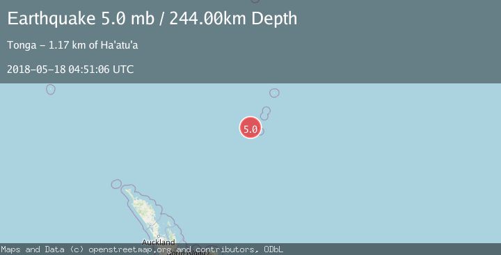
A 5.0 magnitude earthquake struck on KERMADEC ISLANDS REGION, at Fri, 18 May 2018 04:51:06 GMT. Depth: 244km. Reviewed by EMSC seismologists, this moderate quake occurred at a magnitude type of mb.
Magnitude
5.0
mb
Source
EMSC
Intensity
-
Agency Reports
1 Sources| Source | Magnitude | Depth | Time |
|---|---|---|---|
| EMSCPrimary | 5.0 | 244 km | 7 years ago |
Earthquake Details
AutomaticEvent IDemsc_EMSC_20180518_0000031
Tsunami PotentialNo
Magnitude Typemb
Nearest Places
- Havre Seamount32.5 km
- Havre Trough42.5 km
- Havre Rock44.4 km
- L'Esperance Rock57.5 km
- Cheeseman Island102.6 km
Comments
Join the discussion about this event.
Latest Earthquakes
2.7Mag
Kenai Peninsula, Alaska
Time4 minutes ago
Depth37.60 km
SourceVYT (Automatic)
1.1Mag
Washington
Time6 minutes ago
Depth0.00 km
SourceVYT (Automatic)
3.2Mag
Region Metropolitana, Chile
Time6 minutes ago
Depth99.73 km
SourceVYT (Automatic)
2.4Mag
Sumba Region, Indonesia
Time10 minutes ago
Depth17.38 km
SourceBMKG
2.1Mag
West Papua Region, Indonesia
Time12 minutes ago
Depth10.00 km
SourceBMKG
Nearby Earthquakes
4.0Mag
KERMADEC ISLANDS REGION
Time5 years ago
Depth321.00 km
SourceNEIC (Automatic)
5.1Mag
KERMADEC ISLANDS REGION
Time3 years ago
Depth271.00 km
SourceEMSC (Automatic)
5.7Mag
KERMADEC ISLANDS REGION
Time12 years ago
Depth223.00 km
SourceEMSC (Automatic)
5.0Mag
KERMADEC ISLANDS REGION
Time19 years ago
Depth149.00 km
SourceEMSC (Automatic)
5.5Mag
KERMADEC ISLANDS REGION
Time1 year ago
Depth179.00 km
SourceEMSC (Automatic)