Earthquake HALMAHERA, INDONESIA
Sun, 12 Aug 2018 17:23:15 GMT
Time7 years ago
Location
2.7600, 128.0800
Depth
52.0 KM
Event Summary
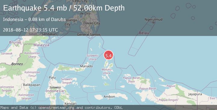
A 5.4 magnitude earthquake struck on HALMAHERA, INDONESIA, at Sun, 12 Aug 2018 17:23:15 GMT. Depth: 52km. Reviewed by EMSC seismologists, this moderate quake occurred at a magnitude type of mb.
Magnitude
5.4
mb
Source
EMSC
Intensity
-
Agency Reports
1 Sources| Source | Magnitude | Depth | Time |
|---|---|---|---|
| EMSCPrimary | 5.4 | 52 km | 7 years ago |
Earthquake Details
AutomaticEvent IDemsc_EMSC_20180812_0000078
Tsunami PotentialNo
Magnitude Typemb
Nearest Places
- Morotai Basin28.1 km
- Pulau Tuanane39.6 km
- Tanjung Papaye39.8 km
- Laumadoro41.6 km
- Desa Lou Madoro41.9 km
Comments
Join the discussion about this event.
Latest Earthquakes
4.5Mag
Central Alaska
Time1 minute ago
Depth7.81 km
SourceVYT (Automatic)
1.9Mag
1 km SSW of Pāhala, Hawaii
Time5 minutes ago
Depth28.47 km
SourceUSGS (Automatic)
1.5Mag
5 km NW of The Geysers, CA
Time6 minutes ago
Depth2.47 km
SourceUSGS (Automatic)
0.3Mag
10 km WNW of The Geysers, CA
Time8 minutes ago
Depth2.50 km
SourceUSGS (Automatic)
2.5Mag
Central Alaska
Time10 minutes ago
Depth112.55 km
SourceVYT (Automatic)
Nearby Earthquakes
3.0Mag
HALMAHERA, INDONESIA
Time2 months ago
Depth138.00 km
SourceBMKG (Automatic)
3.0Mag
Halmahera, Indonesia
Time2 weeks ago
Depth12.53 km
SourceBMKG (Automatic)
5.6Mag
HALMAHERA, INDONESIA
Time20 years ago
Depth80.00 km
SourceEMSC (Automatic)
5.0Mag
HALMAHERA, INDONESIA
Time5 years ago
Depth60.00 km
SourceEMSC (Automatic)
5.3Mag
HALMAHERA, INDONESIA
Time21 years ago
Depth33.00 km
SourceEMSC (Automatic)