Earthquake SOUTHERN SUMATRA, INDONESIA
Sun, 19 Aug 2018 04:22:30 GMT
Time7 years ago
Location
-0.7500, 99.7400
Depth
80.0 KM
Event Summary
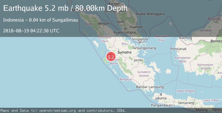
A 5.2 magnitude earthquake struck on SOUTHERN SUMATRA, INDONESIA, at Sun, 19 Aug 2018 04:22:30 GMT. Depth: 80km. Reviewed by EMSC seismologists, this moderate quake occurred at a magnitude type of mb.
Magnitude
5.2
mb
Source
EMSC
Intensity
-
Agency Reports
1 Sources| Source | Magnitude | Depth | Time |
|---|---|---|---|
| EMSCPrimary | 5.2 | 80 km | 7 years ago |
Earthquake Details
AutomaticEvent IDemsc_EMSC_20180819_0000051
Tsunami PotentialNo
Magnitude Typemb
Nearest Places
- Karang South Selita18.0 km
- Karang Lawee20.4 km
- Karang Selita20.8 km
- Karang Sagi23.7 km
- Karang Bayang23.8 km
Comments
Join the discussion about this event.
Latest Earthquakes
1.5Mag
British Columbia, Canada
Time49 minutes ago
Depth25.88 km
SourceVYT (Automatic)
2.9Mag
Antofagasta, Chile
Time54 minutes ago
Depth109.25 km
SourceVYT (Automatic)
1.9Mag
Andreanof Islands, Aleutian Islands, Alaska
Time55 minutes ago
Depth0.85 km
SourceVYT (Automatic)
0.9Mag
Washington
Time58 minutes ago
Depth0.00 km
SourceVYT (Automatic)
2.7Mag
western Texas
Time1 hour ago
Depth1.34 km
SourceVYT (Automatic)
Nearby Earthquakes
3.0Mag
SOUTHERN SUMATRA, INDONESIA
Time2 years ago
Depth15.00 km
SourceBMKG (Automatic)
5.4Mag
SOUTHERN SUMATRA, INDONESIA
Time15 years ago
Depth68.00 km
SourceEMSC (Automatic)
5.0Mag
SOUTHERN SUMATRA, INDONESIA
Time16 years ago
Depth91.00 km
SourceEMSC (Automatic)
3.0Mag
SOUTHERN SUMATRA, INDONESIA
Time2 years ago
Depth57.00 km
SourceDJA (Automatic)
2.2Mag
Southern Sumatra, Indonesia
Time1 week ago
Depth55.02 km
SourceBMKG (Automatic)