Earthquake MYANMAR-INDIA BORDER REGION
Sat, 10 Nov 2018 17:15:47 GMT
Time7 years ago
Location
23.9500, 93.4700
Depth
52.0 KM
Event Summary
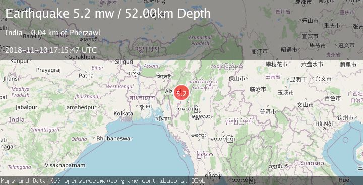
A 5.2 magnitude earthquake struck on MYANMAR-INDIA BORDER REGION, at Sat, 10 Nov 2018 17:15:47 GMT. Depth: 52km. Reviewed by EMSC seismologists, this moderate quake occurred at a magnitude type of mw.
Magnitude
5.2
mw
Source
EMSC
Intensity
-
Agency Reports
1 Sources| Source | Magnitude | Depth | Time |
|---|---|---|---|
| EMSCPrimary | 5.2 | 52 km | 7 years ago |
Earthquake Details
AutomaticEvent IDemsc_EMSC_20181110_0000074
Tsunami PotentialNo
Magnitude Typemw
Nearest Places
- 0.3 km
- 2.0 km
- 3.9 km
- 5.1 km
- 5.6 km
Comments
Join the discussion about this event.
Latest Earthquakes
0.7Mag
9 km NW of The Geysers, CA
Time3 minutes ago
Depth1.84 km
SourceUSGS (Automatic)
2.6Mag
Java, Indonesia
Time9 minutes ago
Depth30.60 km
SourceBMKG
2.9Mag
Off West Coast of Northern Sumatra
Time12 minutes ago
Depth1.82 km
SourceBMKG
3.3Mag
western Texas
Time15 minutes ago
Depth0.00 km
SourceVYT (Automatic)
2.2Mag
Minahassa Peninsula, Sulawesi
Time15 minutes ago
Depth86.43 km
SourceBMKG
Nearby Earthquakes
3.3Mag
MYANMAR-INDIA BORDER REGION
Time1 month ago
Depth45.00 km
SourceNDI (Automatic)
5.0Mag
MANIPUR, INDIA REGION
Time8 years ago
Depth54.00 km
SourceEMSC (Automatic)
3.0Mag
MANIPUR, INDIA REGION
Time8 years ago
Depth10.00 km
SourceNDI (Automatic)
3.0Mag
MANIPUR, INDIA REGION
Time5 years ago
Depth10.00 km
SourceNDI (Automatic)
3.0Mag
MANIPUR, INDIA REGION
Time2 years ago
Depth52.00 km
SourceNDI (Automatic)