Earthquake KEPULAUAN BARAT DAYA, INDONESIA
Mon, 03 Dec 2018 14:00:08 GMT
Time7 years ago
Location
-7.4500, 128.7800
Depth
152.0 KM
Event Summary
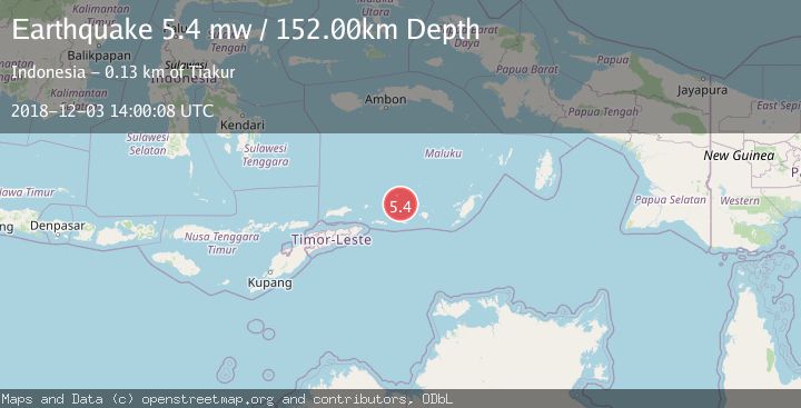
A 5.4 magnitude earthquake struck on KEPULAUAN BARAT DAYA, INDONESIA, at Mon, 03 Dec 2018 14:00:08 GMT. Depth: 152km. Reviewed by EMSC seismologists, this moderate quake occurred at a magnitude type of mw.
Magnitude
5.4
mw
Source
EMSC
Intensity
-
Agency Reports
1 Sources| Source | Magnitude | Depth | Time |
|---|---|---|---|
| EMSCPrimary | 5.4 | 152 km | 7 years ago |
Earthquake Details
AutomaticEvent IDemsc_EMSC_20181203_0000089
Tsunami PotentialNo
Magnitude Typemw
Nearest Places
- Pulau Terbang Selatan26.0 km
- Pulau Terbang Utara29.4 km
- Tanjung Paran30.1 km
- Tanjung Watlewantutu30.8 km
- Desa Ilih33.3 km
Comments
Join the discussion about this event.
Latest Earthquakes
3.9Mag
Halmahera, Indonesia
Time2 minutes ago
Depth161.01 km
SourceVYT (Automatic)
1.0Mag
3 km W of Cobb, CA
Time4 minutes ago
Depth2.45 km
SourceUSGS (Automatic)
3.1Mag
SPAIN
Time7 minutes ago
Depth5.00 km
SourceIGN (Automatic)
2.3Mag
Tarapaca, Chile
Time8 minutes ago
Depth115.60 km
SourceVYT (Automatic)
1.2Mag
19 km NNE of Indio, CA
Time11 minutes ago
Depth4.86 km
SourceUSGS (Automatic)
Nearby Earthquakes
4.2Mag
Banda Sea
Time2 weeks ago
Depth190.86 km
SourceBMKG (Automatic)
4.0Mag
KEPULAUAN BARAT DAYA, INDONESIA
Time1 year ago
Depth156.80 km
SourceNEIC (Automatic)
5.3Mag
KEPULAUAN BARAT DAYA, INDONESIA
Time6 years ago
Depth137.00 km
SourceEMSC (Automatic)
4.0Mag
KEPULAUAN BARAT DAYA, INDONESIA
Time1 year ago
Depth132.30 km
SourceNEIC (Automatic)
5.0Mag
Banda Sea
Time2 weeks ago
Depth160.88 km
SourceBMKG (Automatic)