Earthquake SUNDA STRAIT, INDONESIA
Sat, 12 Jan 2019 12:04:26 GMT
Time7 years ago
Location
-6.7500, 104.3000
Depth
40.0 KM
Event Summary
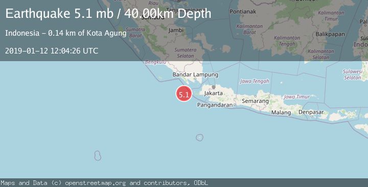
A 5.1 magnitude earthquake struck on SUNDA STRAIT, INDONESIA, at Sat, 12 Jan 2019 12:04:26 GMT. Depth: 40km. Reviewed by EMSC seismologists, this moderate quake occurred at a magnitude type of mb.
Magnitude
5.1
mb
Source
EMSC
Intensity
-
Agency Reports
1 Sources| Source | Magnitude | Depth | Time |
|---|---|---|---|
| EMSCPrimary | 5.1 | 40 km | 7 years ago |
Earthquake Details
AutomaticEvent IDemsc_EMSC_20190112_0000045
Tsunami PotentialNo
Magnitude Typemb
Nearest Places
- Tanjung Cuku Balimbing42.4 km
- Pulau Waton89.6 km
- Legon Mandar89.6 km
- Ci Panaitan89.9 km
- Tanjung Waton91.4 km
Comments
Join the discussion about this event.
Latest Earthquakes
2.9Mag
Seram, Indonesia
Time5 minutes ago
Depth15.78 km
SourceBMKG
2.2Mag
Java, Indonesia
Time6 minutes ago
Depth115.38 km
SourceBMKG
1.4Mag
7 km NW of The Geysers, CA
Time10 minutes ago
Depth1.65 km
SourceUSGS (Automatic)
1.1Mag
7 km NE of San Jacinto, CA
Time15 minutes ago
Depth16.11 km
SourceUSGS (Automatic)
1.4Mag
CENTRAL TURKEY
Time21 minutes ago
Depth7.00 km
SourceAFAD (Automatic)
Nearby Earthquakes
3.0Mag
SUNDA STRAIT, INDONESIA
Time8 months ago
Depth13.00 km
SourceBMKG (Automatic)
5.0Mag
SUNDA STRAIT, INDONESIA
Time13 years ago
Depth30.00 km
SourceEMSC (Automatic)
5.1Mag
SUNDA STRAIT, INDONESIA
Time18 years ago
Depth25.00 km
SourceEMSC (Automatic)
4.0Mag
SUNDA STRAIT, INDONESIA
Time3 months ago
Depth10.00 km
SourceBMKG (Automatic)
4.0Mag
SUNDA STRAIT, INDONESIA
Time4 years ago
Depth10.00 km
SourceDJA (Automatic)