Earthquake KERMADEC ISLANDS REGION
Sat, 20 Jul 2019 22:35:33 GMT
Time6 years ago
Location
-31.1900, -178.2300
Depth
40.0 KM
Event Summary
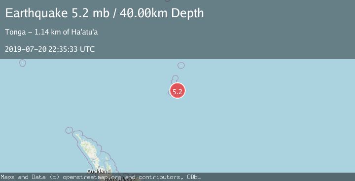
A 5.2 magnitude earthquake struck on KERMADEC ISLANDS REGION, at Sat, 20 Jul 2019 22:35:33 GMT. Depth: 40km. Reviewed by EMSC seismologists, this moderate quake occurred at a magnitude type of mb.
Magnitude
5.2
mb
Source
EMSC
Intensity
-
Agency Reports
1 Sources| Source | Magnitude | Depth | Time |
|---|---|---|---|
| EMSCPrimary | 5.2 | 40 km | 6 years ago |
Earthquake Details
AutomaticEvent IDemsc_EMSC_20190720_0000062
Tsunami PotentialNo
Magnitude Typemb
Nearest Places
- L'Esperance Rock69.2 km
- Havre Rock75.3 km
- Macdonald Cove78.5 km
- Curtis Island78.7 km
- Havre Seamount78.8 km
Comments
Join the discussion about this event.
Latest Earthquakes
2.4Mag
Central California
Time3 minutes ago
Depth0.00 km
SourceVYT (Automatic)
1.0Mag
6 km NW of The Geysers, CA
Time5 minutes ago
Depth2.64 km
SourceUSGS (Automatic)
2.0Mag
SWEDEN
Time10 minutes ago
Depth12.20 km
SourceSNSN (Automatic)
3.0Mag
DODECANESE ISLANDS, GREECE
Time10 minutes ago
Depth10.00 km
SourceNOA (Automatic)
3.2Mag
Southeastern Alaska
Time11 minutes ago
Depth0.00 km
SourceVYT (Automatic)
Nearby Earthquakes
5.2Mag
KERMADEC ISLANDS REGION
Time14 years ago
Depth46.00 km
SourceEMSC (Automatic)
5.5Mag
KERMADEC ISLANDS REGION
Time11 years ago
Depth30.00 km
SourceEMSC (Automatic)
6.0Mag
KERMADEC ISLANDS REGION
Time17 years ago
Depth40.00 km
SourceEMSC (Automatic)
5.1Mag
KERMADEC ISLANDS REGION
Time9 months ago
Depth80.00 km
SourceEMSC (Automatic)
5.7Mag
KERMADEC ISLANDS REGION
Time12 years ago
Depth10.00 km
SourceEMSC (Automatic)