Earthquake KERMADEC ISLANDS REGION
Thu, 12 Feb 2009 18:54:30 GMT
Time17 years ago
Location
-31.2400, -178.0500
Depth
40.0 KM
Event Summary
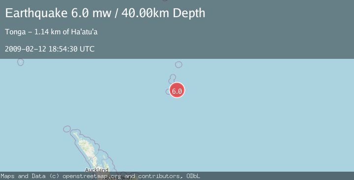
A 6.0 magnitude earthquake struck on KERMADEC ISLANDS REGION, at Thu, 12 Feb 2009 18:54:30 GMT. Depth: 40km. Reviewed by EMSC seismologists, this strong quake occurred at a magnitude type of mw.
Magnitude
6.0
mw
Source
EMSC
Intensity
-
Agency Reports
1 Sources| Source | Magnitude | Depth | Time |
|---|---|---|---|
| EMSCPrimary | 6.0 | 40 km | 17 years ago |
Earthquake Details
AutomaticEvent IDemsc_EMSC_20090212_0000123
Tsunami PotentialNo
Magnitude Typemw
Nearest Places
- L'Esperance Rock83.5 km
- Havre Rock91.1 km
- Macdonald Cove91.5 km
- Curtis Island91.6 km
- Stella Passage91.8 km
Comments
Join the discussion about this event.
Latest Earthquakes
0.9Mag
6 km NNE of Corralitos, CA
Time9 minutes ago
Depth6.95 km
SourceUSGS (Automatic)
2.0Mag
Seram, Indonesia
Time13 minutes ago
Depth15.15 km
SourceBMKG
4.4Mag
north of Halmahera, Indonesia
Time15 minutes ago
Depth10.00 km
SourceVYT (Automatic)
4.4Mag
NORTH OF HALMAHERA, INDONESIA
Time16 minutes ago
Depth10.00 km
SourceBMKG (Automatic)
3.1Mag
Sulawesi, Indonesia
Time18 minutes ago
Depth0.00 km
SourceVYT (Automatic)
Nearby Earthquakes
6.3Mag
KERMADEC ISLANDS REGION
Time6 years ago
Depth27.00 km
SourceEMSC (Automatic)
5.2Mag
KERMADEC ISLANDS REGION
Time2 years ago
Depth10.00 km
SourceEMSC (Automatic)
5.2Mag
KERMADEC ISLANDS REGION
Time14 years ago
Depth46.00 km
SourceEMSC (Automatic)
5.5Mag
KERMADEC ISLANDS REGION
Time11 years ago
Depth30.00 km
SourceEMSC (Automatic)
5.1Mag
KERMADEC ISLANDS REGION
Time6 years ago
Depth10.00 km
SourceEMSC (Automatic)