Earthquake KURIL ISLANDS
Sun, 16 Feb 2020 07:35:37 GMT
Time6 years ago
Location
49.3500, 155.5300
Depth
47.0 KM
Event Summary
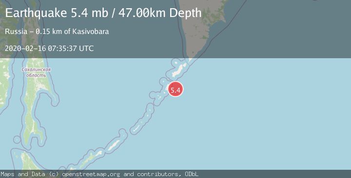
A 5.4 magnitude earthquake struck on KURIL ISLANDS, at Sun, 16 Feb 2020 07:35:37 GMT. Depth: 47km. Reviewed by EMSC seismologists, this moderate quake occurred at a magnitude type of mb.
Magnitude
5.4
mb
Source
EMSC
Intensity
-
Agency Reports
1 Sources| Source | Magnitude | Depth | Time |
|---|---|---|---|
| EMSCPrimary | 5.4 | 47 km | 6 years ago |
Earthquake Details
AutomaticEvent IDemsc_EMSC_20200216_0000056
Tsunami PotentialNo
Magnitude Typemb
Nearest Places
- Mys Rakushiy49.3 km
- Bukhta Otlivnaya49.9 km
- Mys Gorelyy49.9 km
- Mys Nigori50.5 km
- Mys Zelenyy50.5 km
Comments
Join the discussion about this event.
Latest Earthquakes
0.9Mag
81 km NNW of Karluk, Alaska
Time7 minutes ago
Depth34.10 km
SourceUSGS (Automatic)
1.5Mag
Tarapaca, Chile
Time17 minutes ago
Depth32.84 km
SourceVYT (Automatic)
2.4Mag
Potosi, Bolivia
Time20 minutes ago
Depth239.01 km
SourceVYT (Automatic)
2.3Mag
Minahassa Peninsula, Sulawesi
Time21 minutes ago
Depth146.04 km
SourceBMKG
1.3Mag
29 km W of Garden City, Texas
Time26 minutes ago
Depth3.35 km
SourceUSGS (Automatic)
Nearby Earthquakes
5.4Mag
KURIL ISLANDS
Time1 year ago
Depth60.00 km
SourceEMSC (Automatic)
5.3Mag
KURIL ISLANDS
Time13 years ago
Depth50.00 km
SourceEMSC (Automatic)
5.0Mag
KURIL ISLANDS
Time3 years ago
Depth51.00 km
SourceEMSC (Automatic)
5.3Mag
KURIL ISLANDS
Time16 years ago
Depth74.00 km
SourceEMSC (Automatic)
5.3Mag
KURIL ISLANDS
Time18 years ago
Depth10.00 km
SourceEMSC (Automatic)