Earthquake 81 km NNW of Karluk, Alaska
Thu, 19 Feb 2026 06:11:58 GMT
Time1 hour ago
Location
58.2050, -155.1240
Depth
34.1 KM
Event Summary
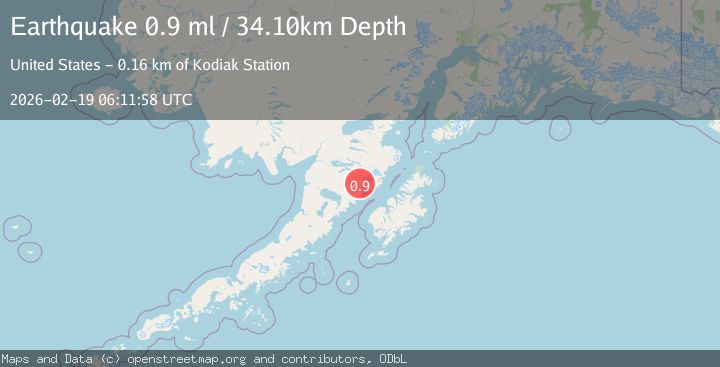
A 0.9 magnitude earthquake struck on 81 km NNW of Karluk, Alaska, at Thu, 19 Feb 2026 06:11:58 GMT. Depth: 34.1km. Reviewed by USGS seismologists, this minor quake occurred at a magnitude type of ml.
Magnitude
0.9
ml
Source
USGS
Intensity
-
Agency Reports
1 Sources| Source | Magnitude | Depth | Time |
|---|---|---|---|
| USGSPrimary | 0.9 | 34 km | 1 hour ago |
Earthquake Details
AutomaticEvent IDusgs_aka2026dmkxrl
Tsunami PotentialNo
Magnitude Typeml
Nearest Places
- Trident Volcano3.5 km
- Observation Mountain3.9 km
- Katmai Pass4.5 km
- Falling Mountain6.3 km
- Mount Cerberus6.5 km
Comments
Join the discussion about this event.
Latest Earthquakes
1.6Mag
Southeastern Alaska
Time50 minutes ago
Depth10.13 km
SourceVYT (Automatic)
2.8Mag
Southern California
Time51 minutes ago
Depth5.37 km
SourceVYT (Automatic)
2.7Mag
Java, Indonesia
Time54 minutes ago
Depth14.57 km
SourceBMKG
0.7Mag
3 km NNW of The Geysers, CA
Time59 minutes ago
Depth2.60 km
SourceUSGS (Automatic)
1.1Mag
33 km SSE of Glacier View, Alaska
Time1 hour ago
Depth20.20 km
SourceUSGS (Automatic)
Nearby Earthquakes
1.3Mag
82 km NNW of Karluk, Alaska
Time2 weeks ago
Depth5.00 km
SourceUSGS (Automatic)
1.0Mag
Alaska Peninsula
Time2 days ago
Depth0.98 km
SourceVYT (Automatic)
0.9Mag
85 km NNW of Karluk, Alaska
Time1 week ago
Depth5.00 km
SourceUSGS (Automatic)
1.1Mag
82 km NNW of Karluk, Alaska
Time3 weeks ago
Depth5.00 km
SourceUSGS (Automatic)
1.6Mag
Alaska Peninsula
Time3 days ago
Depth34.30 km
SourceVYT (Automatic)