Earthquake SOUTH OF KERMADEC ISLANDS
Wed, 11 Mar 2020 01:01:46 GMT
Time5 years ago
Location
-32.4100, -178.0600
Depth
10.0 KM
Event Summary
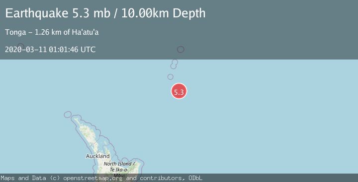
A 5.3 magnitude earthquake struck on SOUTH OF KERMADEC ISLANDS, at Wed, 11 Mar 2020 01:01:46 GMT. Depth: 10km. Reviewed by EMSC seismologists, this moderate quake occurred at a magnitude type of mb.
Magnitude
5.3
mb
Source
EMSC
Intensity
-
Agency Reports
1 Sources| Source | Magnitude | Depth | Time |
|---|---|---|---|
| EMSCPrimary | 5.3 | 10 km | 5 years ago |
Earthquake Details
AutomaticEvent IDemsc_EMSC_20200311_0000008
Tsunami PotentialNo
Magnitude Typemb
Nearest Places
- 84.8 km
- 97.6 km
- 129.5 km
- 134.5 km
- 143.6 km
Comments
Join the discussion about this event.
Latest Earthquakes
2.4Mag
Java, Indonesia
Time3 minutes ago
Depth6.00 km
SourceBMKG
0.4Mag
1 km NW of The Geysers, CA
Time5 minutes ago
Depth3.94 km
SourceUSGS (Automatic)
4.2Mag
West Papua, Indonesia
Time7 minutes ago
Depth117.65 km
SourceBMKG
3.8Mag
Papua, Indonesia
Time7 minutes ago
Depth33.81 km
SourceVYT (Automatic)
3.4Mag
South of Java, Indonesia
Time8 minutes ago
Depth10.00 km
SourceBMKG
Nearby Earthquakes
5.0Mag
SOUTH OF KERMADEC ISLANDS
Time12 years ago
Depth10.00 km
SourceEMSC (Automatic)
5.2Mag
SOUTH OF KERMADEC ISLANDS
Time12 years ago
Depth37.00 km
SourceEMSC (Automatic)
5.0Mag
SOUTH OF KERMADEC ISLANDS
Time11 years ago
Depth2.00 km
SourceEMSC (Automatic)
5.4Mag
SOUTH OF KERMADEC ISLANDS
Time16 years ago
Depth30.00 km
SourceEMSC (Automatic)
5.5Mag
SOUTH OF KERMADEC ISLANDS
Time12 years ago
Depth10.00 km
SourceEMSC (Automatic)