Earthquake MOLUCCA SEA
Wed, 15 Apr 2020 21:03:38 GMT
Time5 years ago
Location
1.0900, 126.7100
Depth
51.0 KM
Event Summary
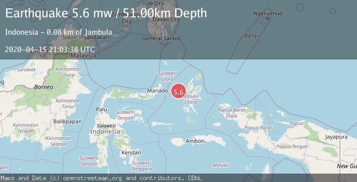
A 5.6 magnitude earthquake struck on MOLUCCA SEA, at Wed, 15 Apr 2020 21:03:38 GMT. Depth: 51km. Reviewed by EMSC seismologists, this moderate quake occurred at a magnitude type of mw.
Magnitude
5.6
mw
Source
EMSC
Intensity
-
Agency Reports
1 Sources| Source | Magnitude | Depth | Time |
|---|---|---|---|
| EMSCPrimary | 5.6 | 51 km | 5 years ago |
Earthquake Details
AutomaticEvent IDemsc_EMSC_20200415_0000159
Tsunami PotentialNo
Magnitude Typemw
Nearest Places
- Tanjung Geranomaderi41.3 km
- Kelurahan Bido43.4 km
- Kelurahan Lelewi43.8 km
- Kecamatan Pulau Batang Dua44.4 km
- Pulau Mayu44.5 km
Comments
Join the discussion about this event.
Latest Earthquakes
4.5Mag
Central Alaska
Time2 minutes ago
Depth7.81 km
SourceVYT (Automatic)
1.9Mag
1 km SSW of Pāhala, Hawaii
Time5 minutes ago
Depth28.47 km
SourceUSGS (Automatic)
1.5Mag
5 km NW of The Geysers, CA
Time6 minutes ago
Depth2.47 km
SourceUSGS (Automatic)
0.3Mag
10 km WNW of The Geysers, CA
Time8 minutes ago
Depth2.50 km
SourceUSGS (Automatic)
2.5Mag
Central Alaska
Time10 minutes ago
Depth112.55 km
SourceVYT (Automatic)
Nearby Earthquakes
3.0Mag
MOLUCCA SEA
Time5 months ago
Depth36.00 km
SourceBMKG (Automatic)
2.6Mag
MOLUCCA SEA
Time1 month ago
Depth31.00 km
SourceBMKG (Automatic)
3.0Mag
MOLUCCA SEA
Time3 years ago
Depth21.00 km
SourceDJA (Automatic)
3.0Mag
MOLUCCA SEA
Time1 year ago
Depth17.00 km
SourceBMKG (Automatic)
4.0Mag
MOLUCCA SEA
Time2 years ago
Depth15.00 km
SourceBMKG (Automatic)