Earthquake NORTH ISLAND OF NEW ZEALAND
Wed, 29 Jul 2020 18:41:14 GMT
Time5 years ago
Location
-37.8500, 176.9400
Depth
164.0 KM
Event Summary
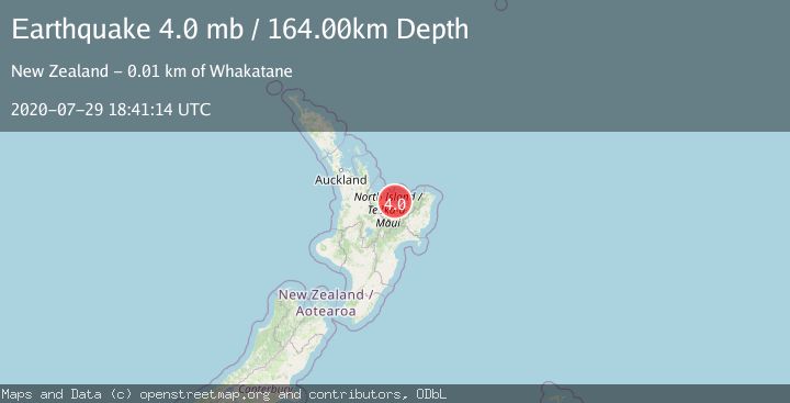
A 4.0 magnitude earthquake struck on NORTH ISLAND OF NEW ZEALAND, at Wed, 29 Jul 2020 18:41:14 GMT. Depth: 164km. Reviewed by EMSC seismologists, this light quake occurred at a magnitude type of mb.
Magnitude
4.0
mb
Source
EMSC
Intensity
-
Agency Reports
1 Sources| Source | Magnitude | Depth | Time |
|---|---|---|---|
| EMSCPrimary | 4.0 | 164 km | 5 years ago |
Earthquake Details
AutomaticEvent IDemsc_EMSC_20200729_0000135
Tsunami PotentialNo
Magnitude Typemb
Nearest Places
- Boulder Bay1.8 km
- Sulphur Bay1.8 km
- Moutohora Island2.9 km
- Motuhora3.8 km
- Rurima Rocks5.3 km
Comments
Join the discussion about this event.
Latest Earthquakes
1.9Mag
Poland
Time14 minutes ago
Depth10.01 km
SourceVYT (Automatic)
1.6Mag
10 km W of Pine Valley, CA
Time22 minutes ago
Depth16.88 km
SourceUSGS (Automatic)
2.4Mag
West Papua Region, Indonesia
Time22 minutes ago
Depth10.00 km
SourceBMKG
4.5Mag
Tarapaca, Chile
Time27 minutes ago
Depth128.42 km
SourceVYT (Automatic)
2.3Mag
PUERTO RICO
Time33 minutes ago
Depth15.50 km
SourcePR (Automatic)
Nearby Earthquakes
3.0Mag
NORTH ISLAND OF NEW ZEALAND
Time3 years ago
Depth5.00 km
SourceGNS (Automatic)
3.0Mag
NORTH ISLAND OF NEW ZEALAND
Time5 months ago
Depth10.10 km
SourceGNS (Automatic)
3.0Mag
NORTH ISLAND OF NEW ZEALAND
Time3 years ago
Depth48.00 km
SourceGNS (Automatic)
5.0Mag
OFF E. COAST OF N. ISLAND, N.Z.
Time19 years ago
Depth130.00 km
SourceEMSC (Automatic)
3.3Mag
NORTH ISLAND OF NEW ZEALAND
Time1 month ago
Depth2.60 km
SourceGNS (Automatic)