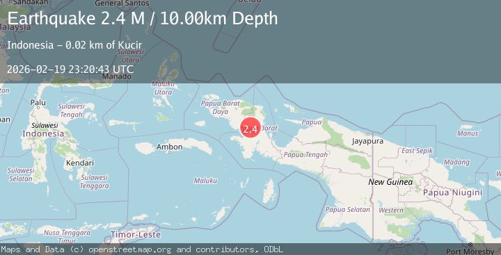
Earthquake West Papua Region, Indonesia
Thu, 19 Feb 2026 23:20:42 GMT
Time3 hours ago
Location
-2.1351, 133.2648
Depth
10.0 KM
Event Summary
A 2.3 magnitude earthquake struck on West Papua Region, Indonesia, at Thu, 19 Feb 2026 23:20:42 GMT. Depth: 10km. Reviewed by BMKG seismologists, this minor quake occurred at a magnitude type of M.
Magnitude
2.3
M
Source
BMKG
Intensity
-
Agency Reports
1 Sources| Source | Magnitude | Depth | Time |
|---|---|---|---|
| BMKGPrimary | 2.3 | 10 km | 3 hours ago |
Earthquake Details
ManualEvent IDbmg2026dnhw
Tsunami PotentialNo
Magnitude TypeM
Nearest Places
- Sungai Kasari6.4 km
- Sungai Kamarin6.5 km
- Sakauni6.8 km
- Sungai Kasani7.6 km
- Kampung Taroy8.2 km
Comments
Join the discussion about this event.
Latest Earthquakes
1.6Mag
10 km W of Pine Valley, CA
Time3 hours ago
Depth16.88 km
SourceUSGS (Automatic)
4.5Mag
Tarapaca, Chile
Time3 hours ago
Depth128.42 km
SourceVYT (Automatic)
1.5Mag
4 km NE of Muscoy, CA
Time3 hours ago
Depth7.69 km
SourceUSGS (Automatic)
0.8Mag
6 km W of Cobb, CA
Time3 hours ago
Depth0.90 km
SourceUSGS (Automatic)
1.4Mag
Southern Alaska
Time3 hours ago
Depth70.19 km
SourceVYT (Automatic)
Nearby Earthquakes
2.1Mag
West Papua Region, Indonesia
Time12 hours ago
Depth10.00 km
SourceBMKG
2.2Mag
West Papua Region, Indonesia
Time1 day ago
Depth26.69 km
SourceBMKG
2.5Mag
West Papua Region, Indonesia
Time8 hours ago
Depth10.00 km
SourceBMKG
2.7Mag
West Papua Region, Indonesia
Time3 weeks ago
Depth14.00 km
SourceBMKG (Automatic)
4.0Mag
PAPUA, INDONESIA
Time6 months ago
Depth10.00 km
SourceBMKG (Automatic)