Earthquake MINDANAO, PHILIPPINES
Fri, 31 Jul 2020 06:06:44 GMT
Time5 years ago
Location
8.5300, 126.5600
Depth
60.0 KM
Event Summary
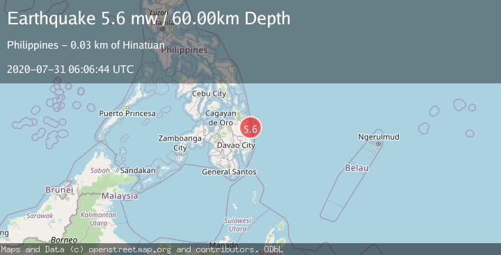
A 5.6 magnitude earthquake struck on MINDANAO, PHILIPPINES, at Fri, 31 Jul 2020 06:06:44 GMT. Depth: 60km. Reviewed by EMSC seismologists, this moderate quake occurred at a magnitude type of mw.
Magnitude
5.6
mw
Source
EMSC
Intensity
-
Agency Reports
1 Sources| Source | Magnitude | Depth | Time |
|---|---|---|---|
| EMSCPrimary | 5.6 | 60 km | 5 years ago |
Earthquake Details
AutomaticEvent IDemsc_EMSC_20200731_0000027
Tsunami PotentialNo
Magnitude Typemw
Nearest Places
- Lamon Point19.2 km
- Singag Island19.6 km
- Port Lamon20.4 km
- Bagasin Island21.0 km
- Lamon Pier21.5 km
Comments
Join the discussion about this event.
Latest Earthquakes
1.6Mag
Alaska Peninsula
Time3 minutes ago
Depth15.63 km
SourceVYT (Automatic)
2.2Mag
FRANCE
Time12 minutes ago
Depth5.00 km
SourceReNaSS (Automatic)
3.5Mag
Fox Islands, Aleutian Islands, Alaska
Time13 minutes ago
Depth72.63 km
SourceVYT (Automatic)
2.9Mag
STRAIT OF GIBRALTAR
Time13 minutes ago
Depth58.80 km
SourceIGN (Automatic)
1.8Mag
Kodiak Island region, Alaska
Time15 minutes ago
Depth208.13 km
SourceVYT (Automatic)
Nearby Earthquakes
3.0Mag
MINDANAO, PHILIPPINES
Time1 year ago
Depth6.00 km
SourcePIVS (Automatic)
3.0Mag
MINDANAO, PHILIPPINES
Time1 year ago
Depth20.00 km
SourcePIVS (Automatic)
3.0Mag
MINDANAO, PHILIPPINES
Time3 years ago
Depth27.00 km
SourcePIVS (Automatic)
3.0Mag
MINDANAO, PHILIPPINES
Time5 years ago
Depth27.00 km
SourcePIVS (Automatic)
3.0Mag
MINDANAO, PHILIPPINES
Time1 month ago
Depth17.00 km
SourcePIVS (Automatic)