Earthquake Alaska Peninsula
Thu, 19 Feb 2026 12:10:09 GMT
Time1 hour ago
Location
58.1601, -155.4357
Depth
15.6 KM
Event Summary
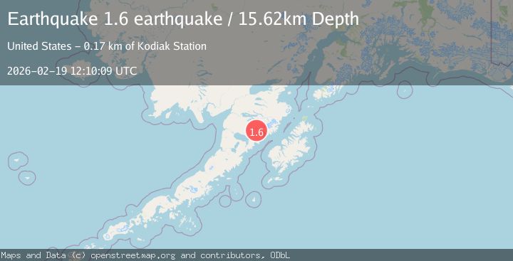
A 1.6 magnitude earthquake struck on Alaska Peninsula, at Thu, 19 Feb 2026 12:10:09 GMT. Depth: 15.625km. Reviewed by VYT seismologists, this minor quake occurred at a magnitude type of earthquake.
Magnitude
1.6
earthquake
Source
VYT
Intensity
-
Agency Reports
1 Sources| Source | Magnitude | Depth | Time |
|---|---|---|---|
| VYTPrimary | 1.6 | 16 km | 1 hour ago |
Earthquake Details
AutomaticEvent IDvyt_2spcmh1m7vqpa
Tsunami PotentialNo
Magnitude Typeearthquake
Nearest Places
- Kejulik Mountains9.3 km
- Kejulik Pass10.9 km
- Mount Mageik11.4 km
- Mageik Landslide14.1 km
- Mount Cerberus16.7 km
Comments
Join the discussion about this event.
Latest Earthquakes
2.4Mag
Tarapaca, Chile
Time1 hour ago
Depth0.00 km
SourceVYT (Automatic)
0.8Mag
4 km NW of The Geysers, CA
Time1 hour ago
Depth3.24 km
SourceUSGS (Automatic)
1.8Mag
Tarapaca, Chile
Time1 hour ago
Depth0.00 km
SourceVYT (Automatic)
4.1Mag
PORTUGAL
Time1 hour ago
Depth2.00 km
SourceIPMA (Automatic)
2.1Mag
Kenai Peninsula, Alaska
Time1 hour ago
Depth14.77 km
SourceVYT (Automatic)
Nearby Earthquakes
1.0Mag
Alaska Peninsula
Time3 hours ago
Depth0.61 km
SourceVYT (Automatic)
1.7Mag
Alaska Peninsula
Time3 days ago
Depth0.00 km
SourceVYT (Automatic)
0.9Mag
Alaska Peninsula
Time5 days ago
Depth0.00 km
SourceVYT (Automatic)
1.3Mag
86 km NW of Karluk, Alaska
Time2 weeks ago
Depth5.00 km
SourceUSGS (Automatic)
1.4Mag
Alaska Peninsula
Time5 days ago
Depth0.00 km
SourceVYT (Automatic)