Earthquake KEPULAUAN BARAT DAYA, INDONESIA
Sat, 12 Sep 2020 20:26:19 GMT
Time5 years ago
Location
-7.3700, 128.4200
Depth
141.0 KM
Event Summary
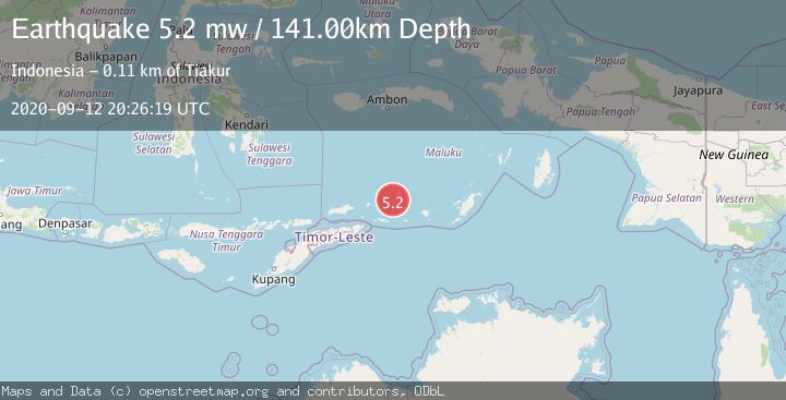
A 5.2 magnitude earthquake struck on KEPULAUAN BARAT DAYA, INDONESIA, at Sat, 12 Sep 2020 20:26:19 GMT. Depth: 141km. Reviewed by EMSC seismologists, this moderate quake occurred at a magnitude type of mw.
Magnitude
5.2
mw
Source
EMSC
Intensity
-
Agency Reports
1 Sources| Source | Magnitude | Depth | Time |
|---|---|---|---|
| EMSCPrimary | 5.2 | 141 km | 5 years ago |
Earthquake Details
AutomaticEvent IDemsc_EMSC_20200912_0000161
Tsunami PotentialNo
Magnitude Typemw
Nearest Places
- Pulau Terbang Selatan15.3 km
- Pulau Musleur16.9 km
- Pulau Terbang Utara17.7 km
- Tanjung Tutitlakani28.1 km
- Tanjung Paran29.7 km
Comments
Join the discussion about this event.
Latest Earthquakes
2.9Mag
Antofagasta, Chile
Time4 minutes ago
Depth109.25 km
SourceVYT (Automatic)
1.9Mag
Andreanof Islands, Aleutian Islands, Alaska
Time6 minutes ago
Depth0.85 km
SourceVYT (Automatic)
0.9Mag
Washington
Time8 minutes ago
Depth0.00 km
SourceVYT (Automatic)
2.7Mag
western Texas
Time11 minutes ago
Depth1.34 km
SourceVYT (Automatic)
2.7Mag
Fox Islands, Aleutian Islands, Alaska
Time13 minutes ago
Depth18.07 km
SourceVYT (Automatic)
Nearby Earthquakes
5.1Mag
KEPULAUAN BARAT DAYA, INDONESIA
Time19 years ago
Depth80.00 km
SourceEMSC (Automatic)
5.6Mag
KEPULAUAN BARAT DAYA, INDONESIA
Time18 years ago
Depth114.00 km
SourceEMSC (Automatic)
5.5Mag
KEPULAUAN BARAT DAYA, INDONESIA
Time15 years ago
Depth176.00 km
SourceEMSC (Automatic)
4.0Mag
KEPULAUAN BARAT DAYA, INDONESIA
Time4 years ago
Depth156.00 km
SourceNEIC (Automatic)
3.9Mag
Banda Sea
Time1 week ago
Depth191.34 km
SourceBMKG (Automatic)