Earthquake KEPULAUAN BARAT DAYA, INDONESIA
Mon, 19 Oct 2020 14:11:57 GMT
Time5 years ago
Location
-7.1200, 126.6100
Depth
372.0 KM
Event Summary
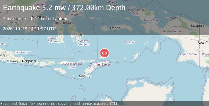
A 5.2 magnitude earthquake struck on KEPULAUAN BARAT DAYA, INDONESIA, at Mon, 19 Oct 2020 14:11:57 GMT. Depth: 372km. Reviewed by EMSC seismologists, this moderate quake occurred at a magnitude type of mw.
Magnitude
5.2
mw
Source
EMSC
Intensity
-
Agency Reports
1 Sources| Source | Magnitude | Depth | Time |
|---|---|---|---|
| EMSCPrimary | 5.2 | 372 km | 5 years ago |
Earthquake Details
AutomaticEvent IDemsc_EMSC_20201019_0000106
Tsunami PotentialNo
Magnitude Typemw
Nearest Places
- Tanjung Tutunnila48.6 km
- Tanjung Tutuntujau49.5 km
- Meta Gering50.9 km
- Wesiri51.6 km
- Tanjung Tutunluirema52.8 km
Comments
Join the discussion about this event.
Latest Earthquakes
1.9Mag
western Texas
Time5 hours ago
Depth0.00 km
SourceVYT (Automatic)
1.9Mag
Tarapaca, Chile
Time5 hours ago
Depth71.29 km
SourceVYT (Automatic)
1.6Mag
western Texas
Time5 hours ago
Depth0.24 km
SourceVYT (Automatic)
2.5Mag
Andreanof Islands, Aleutian Islands, Alaska
Time5 hours ago
Depth59.08 km
SourceVYT (Automatic)
1.0Mag
Northern Territory, Australia
Time5 hours ago
Depth15.87 km
SourceVYT (Automatic)
Nearby Earthquakes
5.1Mag
KEPULAUAN BARAT DAYA, INDONESIA
Time9 years ago
Depth404.00 km
SourceEMSC (Automatic)
4.0Mag
KEPULAUAN BARAT DAYA, INDONESIA
Time1 year ago
Depth307.00 km
SourceBMKG (Automatic)
4.8Mag
Banda Sea
Time0 months ago
Depth394.10 km
SourceBMKG (Automatic)
5.2Mag
BANDA SEA
Time5 years ago
Depth412.00 km
SourceEMSC (Automatic)
4.0Mag
KEPULAUAN BARAT DAYA, INDONESIA
Time3 years ago
Depth313.00 km
SourceNEIC (Automatic)