Earthquake MOLUCCA SEA
Sat, 24 Jul 2021 13:07:23 GMT
Time4 years ago
Location
2.9100, 126.5700
Depth
68.0 KM
Event Summary
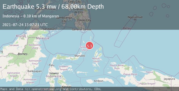
A 5.3 magnitude earthquake struck on MOLUCCA SEA, at Sat, 24 Jul 2021 13:07:23 GMT. Depth: 68km. Reviewed by EMSC seismologists, this moderate quake occurred at a magnitude type of mw.
Magnitude
5.3
mw
Source
EMSC
Intensity
-
Agency Reports
1 Sources| Source | Magnitude | Depth | Time |
|---|---|---|---|
| EMSCPrimary | 5.3 | 68 km | 4 years ago |
Earthquake Details
AutomaticEvent IDemsc_EMSC_20210724_0000137
Tsunami PotentialNo
Magnitude Typemw
Nearest Places
- Pulau Napumbalu87.3 km
- Tanjung Pallo95.2 km
- Tanjung Panii96.0 km
- Taduwale96.0 km
- Peret96.3 km
Comments
Join the discussion about this event.
Latest Earthquakes
2.4Mag
West Papua Region, Indonesia
Time11 minutes ago
Depth10.00 km
SourceBMKG
3.3Mag
Talaud Islands, Indonesia
Time12 minutes ago
Depth10.00 km
SourceBMKG
1.1Mag
4 km NW of The Geysers, CA
Time12 minutes ago
Depth3.39 km
SourceUSGS (Automatic)
1.0Mag
33 km WSW of Ackerly, Texas
Time12 minutes ago
Depth4.44 km
SourceUSGS (Automatic)
2.8Mag
Antofagasta, Chile
Time16 minutes ago
Depth0.00 km
SourceVYT (Automatic)
Nearby Earthquakes
6.3Mag
MOLUCCA SEA
Time4 years ago
Depth60.00 km
SourceEMSC (Automatic)
5.4Mag
MOLUCCA SEA
Time20 years ago
Depth33.00 km
SourceEMSC (Automatic)
4.0Mag
MOLUCCA SEA
Time2 years ago
Depth10.00 km
SourceBMKG (Automatic)
5.0Mag
MOLUCCA SEA
Time3 years ago
Depth40.00 km
SourceEMSC (Automatic)
5.0Mag
MOLUCCA SEA
Time19 years ago
Depth60.00 km
SourceEMSC (Automatic)