Earthquake NEAR S COAST OF PAPUA, INDONESIA
Wed, 10 Nov 2021 17:46:40 GMT
Time4 years ago
Location
-4.3700, 134.1200
Depth
10.0 KM
Event Summary
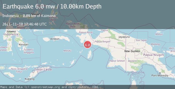
A 6.0 magnitude earthquake struck on NEAR S COAST OF PAPUA, INDONESIA, at Wed, 10 Nov 2021 17:46:40 GMT. Depth: 10km. Reviewed by EMSC seismologists, this strong quake occurred at a magnitude type of mw.
Magnitude
6.0
mw
Source
EMSC
Intensity
-
Agency Reports
1 Sources| Source | Magnitude | Depth | Time |
|---|---|---|---|
| EMSCPrimary | 6.0 | 10 km | 4 years ago |
Earthquake Details
AutomaticEvent IDemsc_EMSC_20211110_0000227
Tsunami PotentialNo
Magnitude Typemw
Nearest Places
- Tanjung Nambima41.1 km
- Pulau Dramai41.7 km
- Pulau Buasei42.5 km
- Tahiya42.9 km
- Mangkawu45.4 km
Comments
Join the discussion about this event.
Latest Earthquakes
0.6Mag
12 km SE of Anza, CA
Time8 minutes ago
Depth6.49 km
SourceUSGS (Automatic)
2.6Mag
western Texas
Time10 minutes ago
Depth12.70 km
SourceVYT (Automatic)
2.0Mag
Sumbawa Region, Indonesia
Time11 minutes ago
Depth21.49 km
SourceBMKG
1.0Mag
Southern Alaska
Time11 minutes ago
Depth1.34 km
SourceVYT (Automatic)
1.7Mag
Dead Sea region
Time13 minutes ago
Depth0.00 km
SourceVYT (Automatic)
Nearby Earthquakes
4.0Mag
NEAR S COAST OF PAPUA, INDONESIA
Time4 years ago
Depth10.00 km
SourceDJA (Automatic)
6.1Mag
NEAR S COAST OF PAPUA, INDONESIA
Time4 years ago
Depth10.00 km
SourceEMSC (Automatic)
5.0Mag
NEAR S COAST OF PAPUA, INDONESIA
Time7 years ago
Depth10.00 km
SourceDJA (Automatic)
5.1Mag
NEAR S COAST OF PAPUA, INDONESIA
Time2 years ago
Depth10.00 km
SourceEMSC (Automatic)
4.0Mag
NEAR S COAST OF PAPUA, INDONESIA
Time5 months ago
Depth57.00 km
SourceBMKG (Automatic)