Earthquake NEAR S COAST OF PAPUA, INDONESIA
Mon, 02 Aug 2021 05:01:21 GMT
Time4 years ago
Location
-4.4600, 134.0200
Depth
10.0 KM
Event Summary
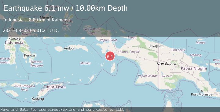
A 6.1 magnitude earthquake struck on NEAR S COAST OF PAPUA, INDONESIA, at Mon, 02 Aug 2021 05:01:21 GMT. Depth: 10km. Reviewed by EMSC seismologists, this strong quake occurred at a magnitude type of mw.
Magnitude
6.1
mw
Source
EMSC
Intensity
-
Agency Reports
1 Sources| Source | Magnitude | Depth | Time |
|---|---|---|---|
| EMSCPrimary | 6.1 | 10 km | 4 years ago |
Earthquake Details
AutomaticEvent IDemsc_EMSC_20210802_0000071
Tsunami PotentialNo
Magnitude Typemw
Nearest Places
- Tanjung Watukebo51.3 km
- Pulau Dramai55.2 km
- Tanjung Nambima55.5 km
- Pulau Buasei55.6 km
- Pulau Aiduma56.8 km
Comments
Join the discussion about this event.
Latest Earthquakes
3.4Mag
San Juan, Argentina
Time7 minutes ago
Depth10.00 km
SourceVYT (Automatic)
3.0Mag
Potosi, Bolivia
Time9 minutes ago
Depth269.04 km
SourceVYT (Automatic)
2.4Mag
Central Alaska
Time11 minutes ago
Depth0.24 km
SourceVYT (Automatic)
3.7Mag
Seram, Indonesia
Time11 minutes ago
Depth0.00 km
SourceVYT (Automatic)
3.9Mag
North of Halmahera, Indonesia
Time12 minutes ago
Depth14.71 km
SourceBMKG
Nearby Earthquakes
4.0Mag
NEAR S COAST OF PAPUA, INDONESIA
Time5 months ago
Depth57.00 km
SourceBMKG (Automatic)
5.1Mag
NEAR S COAST OF PAPUA, INDONESIA
Time2 years ago
Depth10.00 km
SourceEMSC (Automatic)
3.8Mag
NEAR S COAST OF PAPUA, INDONESIA
Time3 weeks ago
Depth54.00 km
SourceBMKG (Automatic)
4.0Mag
NEAR S COAST OF PAPUA, INDONESIA
Time2 years ago
Depth10.00 km
SourceBMKG (Automatic)
5.3Mag
NEAR S COAST OF PAPUA, INDONESIA
Time12 years ago
Depth15.00 km
SourceEMSC (Automatic)