Earthquake NEAR EAST COAST OF KAMCHATKA
Fri, 02 Jan 2026 22:18:53 GMT
Time1 month ago
Location
53.0256, 159.7113
Depth
60.0 KM
Event Summary
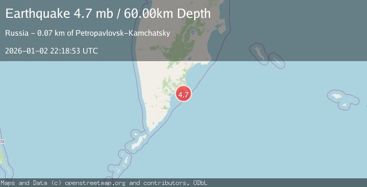
A 4.7 magnitude earthquake struck on NEAR EAST COAST OF KAMCHATKA, at Fri, 02 Jan 2026 22:18:53 GMT. Depth: 60km. Reviewed by EMSC seismologists, this light quake occurred at a magnitude type of mb.
Magnitude
4.7
mb
Source
EMSC
Intensity
-
Agency Reports
1 Sources| Source | Magnitude | Depth | Time |
|---|---|---|---|
| EMSCPrimary | 4.7 | 60 km | 1 month ago |
Earthquake Details
AutomaticEvent IDemsc_EMSC_20260102_0000318
Tsunami PotentialNo
Magnitude Typemb
Nearest Places
- 18.7 km
- 19.0 km
- 19.2 km
- 19.8 km
- 19.9 km
Comments
Join the discussion about this event.
Latest Earthquakes
0.6Mag
2 km NW of The Geysers, CA
Time7 minutes ago
Depth3.79 km
SourceUSGS (Automatic)
3.2Mag
Peru-Bolivia border region
Time8 minutes ago
Depth139.65 km
SourceVYT (Automatic)
3.4Mag
Panama-Colombia border region
Time8 minutes ago
Depth10.00 km
SourceVYT (Automatic)
3.7Mag
Minahasa, Sulawesi, Indonesia
Time10 minutes ago
Depth0.00 km
SourceVYT (Automatic)
3.0Mag
DODECANESE ISLANDS, GREECE
Time11 minutes ago
Depth18.70 km
SourceNOA (Automatic)
Nearby Earthquakes
5.4Mag
OFF EAST COAST OF KAMCHATKA
Time8 years ago
Depth60.00 km
SourceEMSC (Automatic)
5.0Mag
NEAR EAST COAST OF KAMCHATKA
Time3 years ago
Depth61.00 km
SourceEMSC (Automatic)
5.5Mag
OFF EAST COAST OF KAMCHATKA
Time4 months ago
Depth46.30 km
SourceEMSC (Automatic)
5.3Mag
NEAR EAST COAST OF KAMCHATKA
Time5 months ago
Depth50.00 km
SourceEMSC (Automatic)
5.0Mag
OFF EAST COAST OF KAMCHATKA
Time5 months ago
Depth71.00 km
SourceEMSC (Automatic)