Earthquake 2 km NW of The Geysers, CA
Sun, 22 Feb 2026 08:55:54 GMT
Time1 hour ago
Location
38.7900, -122.7678
Depth
3.8 KM
Event Summary
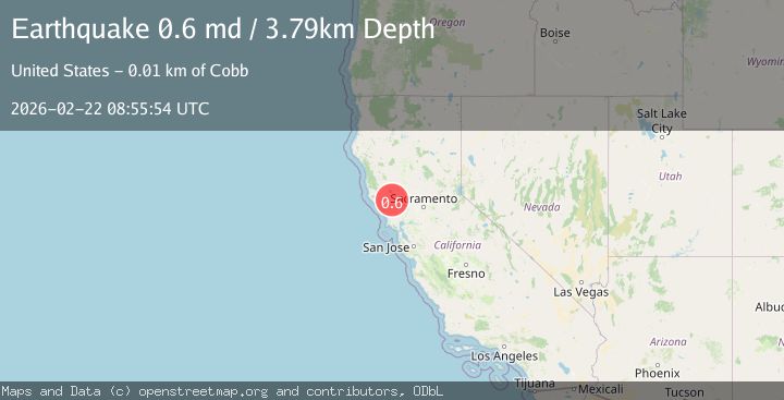
A 0.6 magnitude earthquake struck on 2 km NW of The Geysers, CA, at Sun, 22 Feb 2026 08:55:54 GMT. Depth: 3.78999996185303km. Reviewed by USGS seismologists, this minor quake occurred at a magnitude type of md.
Magnitude
0.6
md
Source
USGS
Intensity
-
Agency Reports
1 Sources| Source | Magnitude | Depth | Time |
|---|---|---|---|
| USGSPrimary | 0.6 | 4 km | 1 hour ago |
Earthquake Details
AutomaticEvent IDusgs_nc75317537
Tsunami PotentialNo
Magnitude Typemd
Nearest Places
- 0.9 km
- 1.3 km
- 1.4 km
- 2.0 km
- 2.1 km
Comments
Join the discussion about this event.
Latest Earthquakes
2.5Mag
Near North Coast of West Papua
Time1 hour ago
Depth44.85 km
SourceBMKG
1.3Mag
22 km E of Anderson, Alaska
Time1 hour ago
Depth14.10 km
SourceUSGS (Automatic)
2.6Mag
West Papua Region, Indonesia
Time1 hour ago
Depth10.00 km
SourceBMKG
3.2Mag
Peru-Bolivia border region
Time1 hour ago
Depth139.65 km
SourceVYT (Automatic)
3.4Mag
Panama-Colombia border region
Time1 hour ago
Depth10.00 km
SourceVYT (Automatic)
Nearby Earthquakes
1.3Mag
2 km NW of The Geysers, CA
Time3 days ago
Depth0.93 km
SourceUSGS (Automatic)
2.1Mag
NORTHERN CALIFORNIA
Time1 month ago
Depth4.10 km
SourceNC (Automatic)
1.6Mag
2 km NNW of The Geysers, CA
Time1 month ago
Depth1.11 km
SourceUSGS (Automatic)
0.6Mag
2 km NW of The Geysers, CA
Time1 week ago
Depth4.21 km
SourceUSGS (Automatic)
1.7Mag
2 km NW of The Geysers, CA
Time4 days ago
Depth0.79 km
SourceUSGS (Automatic)