Earthquake MOLUCCA SEA
Tue, 13 Jan 2026 18:58:10 GMT
Time1 month ago
Location
1.1395, 126.2197
Depth
46.0 KM
Event Summary
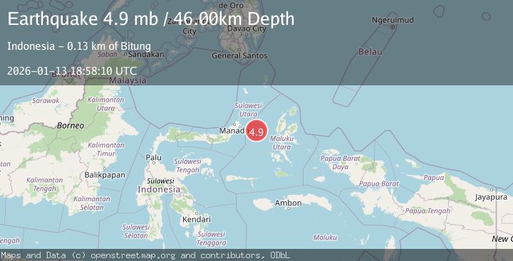
A 4.9 magnitude earthquake struck on MOLUCCA SEA, at Tue, 13 Jan 2026 18:58:10 GMT. Depth: 46km. Reviewed by EMSC seismologists, this light quake occurred at a magnitude type of mb.
Magnitude
4.9
mb
Source
EMSC
Intensity
-
Agency Reports
1 Sources| Source | Magnitude | Depth | Time |
|---|---|---|---|
| EMSCPrimary | 4.9 | 46 km | 1 month ago |
Earthquake Details
AutomaticEvent IDemsc_EMSC_20260113_0000279
Tsunami PotentialNo
Magnitude Typemb
Nearest Places
- Pulau Gureda18.8 km
- Kelurahan Pantai Sagu20.3 km
- Pulau Tifore20.4 km
- Kelurahan Tifure20.8 km
- Tanjung Geranomaderi23.0 km
Comments
Join the discussion about this event.
Latest Earthquakes
3.4Mag
Sulawesi, Indonesia
Time12 hours ago
Depth27.95 km
SourceVYT (Automatic)
1.6Mag
Central Alaska
Time12 hours ago
Depth18.07 km
SourceVYT (Automatic)
2.5Mag
Bering Strait
Time13 hours ago
Depth200.07 km
SourceVYT (Automatic)
2.3Mag
Sumbawa Region, Indonesia
Time13 hours ago
Depth10.00 km
SourceBMKG
1.6Mag
13 km ENE of Falls City, Texas
Time13 hours ago
Depth7.18 km
SourceUSGS (Automatic)
Nearby Earthquakes
5.7Mag
MOLUCCA SEA
Time16 years ago
Depth10.00 km
SourceEMSC (Automatic)
5.0Mag
MOLUCCA SEA
Time19 years ago
Depth10.00 km
SourceEMSC (Automatic)
3.0Mag
MOLUCCA SEA
Time1 year ago
Depth33.00 km
SourceBMKG (Automatic)
3.0Mag
Molucca Sea
Time1 week ago
Depth37.48 km
SourceVYT (Automatic)
6.0Mag
MOLUCCA SEA
Time18 years ago
Depth53.00 km
SourceEMSC (Automatic)