Earthquake RAT ISLANDS, ALEUTIAN ISLANDS
Thu, 15 Jan 2026 08:52:46 GMT
Time1 month ago
Location
51.6605, 176.6028
Depth
42.6 KM
Event Summary
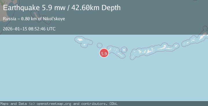
A 5.9 magnitude earthquake struck on RAT ISLANDS, ALEUTIAN ISLANDS, at Thu, 15 Jan 2026 08:52:46 GMT. Depth: 42.6km. Reviewed by EMSC seismologists, this moderate quake occurred at a magnitude type of mw.
Magnitude
5.9
mw
Source
EMSC
Intensity
-
Agency Reports
1 Sources| Source | Magnitude | Depth | Time |
|---|---|---|---|
| EMSCPrimary | 5.9 | 43 km | 1 month ago |
Earthquake Details
AutomaticEvent IDemsc_EMSC_20260115_0000122
Tsunami PotentialNo
Magnitude Typemw
Nearest Places
- Murray Basin11.6 km
- Murray Spur12.2 km
- Coulee Canyon18.0 km
- Murray Canyon23.9 km
- Saint Canyon28.1 km
Comments
Join the discussion about this event.
Latest Earthquakes
1.3Mag
Kenai Peninsula, Alaska
Time17 hours ago
Depth21.00 km
SourceVYT (Automatic)
1.6Mag
Southern Alaska
Time17 hours ago
Depth84.72 km
SourceVYT (Automatic)
1.3Mag
Southern Alaska
Time17 hours ago
Depth6.47 km
SourceVYT (Automatic)
3.6Mag
Tarapaca, Chile
Time17 hours ago
Depth101.32 km
SourceVYT (Automatic)
2.8Mag
Wyoming
Time17 hours ago
Depth111.08 km
SourceVYT (Automatic)
Nearby Earthquakes
3.0Mag
RAT ISLANDS, ALEUTIAN ISLANDS
Time7 years ago
Depth35.00 km
SourceNEIC (Automatic)
4.1Mag
RAT ISLANDS, ALEUTIAN ISLANDS
Time1 month ago
Depth10.10 km
SourceAK (Automatic)
3.0Mag
RAT ISLANDS, ALEUTIAN ISLANDS
Time9 years ago
Depth29.00 km
SourceNEIC (Automatic)
5.1Mag
RAT ISLANDS, ALEUTIAN ISLANDS
Time10 years ago
Depth40.00 km
SourceEMSC (Automatic)
3.0Mag
RAT ISLANDS, ALEUTIAN ISLANDS
Time2 years ago
Depth25.70 km
SourceAK (Automatic)