Earthquake Southern Alaska
Tue, 17 Feb 2026 21:07:13 GMT
Time12 hours ago
Location
61.2848, -147.5261
Depth
6.5 KM
Event Summary
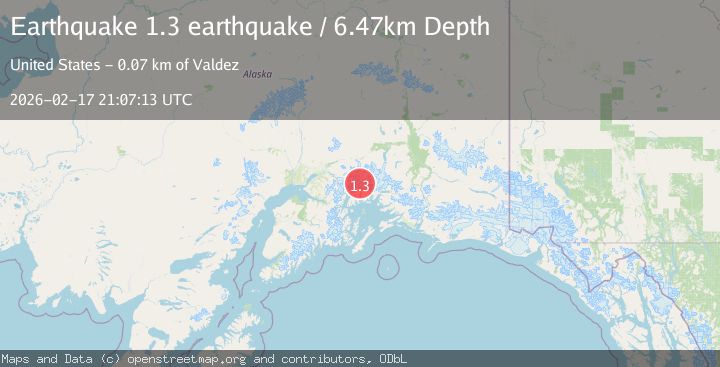
A 1.3 magnitude earthquake struck on Southern Alaska, at Tue, 17 Feb 2026 21:07:13 GMT. Depth: 6.4697265625km. Reviewed by VYT seismologists, this minor quake occurred at a magnitude type of earthquake.
Magnitude
1.3
earthquake
Source
VYT
Intensity
-
Agency Reports
1 Sources| Source | Magnitude | Depth | Time |
|---|---|---|---|
| VYTPrimary | 1.3 | 6 km | 12 hours ago |
Earthquake Details
AutomaticEvent IDvyt_2mtbdz72wj02n
Tsunami PotentialNo
Magnitude Typeearthquake
Nearest Places
- Lowell Glacier3.0 km
- Dora Keen Range4.5 km
- Downer Glacier4.8 km
- Harvard Glacier7.9 km
- Meares Glacier9.8 km
Comments
Join the discussion about this event.
Latest Earthquakes
1.6Mag
Southern Alaska
Time12 hours ago
Depth84.72 km
SourceVYT (Automatic)
3.6Mag
Tarapaca, Chile
Time12 hours ago
Depth101.32 km
SourceVYT (Automatic)
2.8Mag
Wyoming
Time12 hours ago
Depth111.08 km
SourceVYT (Automatic)
1.5Mag
Southern Alaska
Time12 hours ago
Depth30.52 km
SourceVYT (Automatic)
2.9Mag
SICILY, ITALY
Time12 hours ago
Depth5.00 km
SourceMLT (Automatic)
Nearby Earthquakes
1.7Mag
55 km S of Glacier View, Alaska
Time2 weeks ago
Depth5.00 km
SourceUSGS (Automatic)
1.3Mag
Southern Alaska
Time1 week ago
Depth15.63 km
SourceVYT (Automatic)
1.4Mag
Southern Alaska
Time1 day ago
Depth0.00 km
SourceVYT (Automatic)
1.7Mag
Southern Alaska
Time2 days ago
Depth0.00 km
SourceVYT (Automatic)
1.3Mag
Southern Alaska
Time1 week ago
Depth15.99 km
SourceVYT (Automatic)