Earthquake SUNDA STRAIT, INDONESIA
Mon, 19 Jan 2026 01:10:48 GMT
Time1 month ago
Location
-5.8135, 105.7040
Depth
155.0 KM
Event Summary
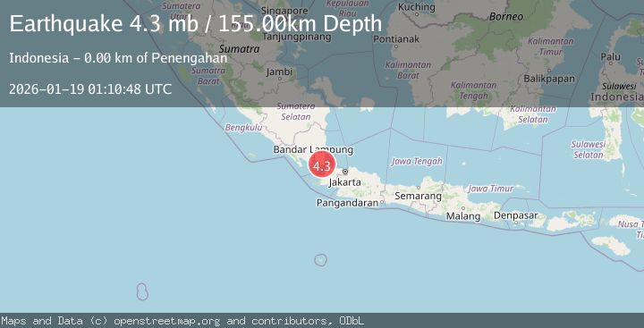
A 4.3 magnitude earthquake struck on SUNDA STRAIT, INDONESIA, at Mon, 19 Jan 2026 01:10:48 GMT. Depth: 155km. Reviewed by EMSC seismologists, this light quake occurred at a magnitude type of mb.
Magnitude
4.3
mb
Source
EMSC
Intensity
-
Agency Reports
1 Sources| Source | Magnitude | Depth | Time |
|---|---|---|---|
| EMSCPrimary | 4.3 | 155 km | 1 month ago |
Earthquake Details
AutomaticEvent IDemsc_EMSC_20260119_0000019
Tsunami PotentialNo
Magnitude Typemb
Nearest Places
- Desa Semanak0.3 km
- Semanak1.3 km
- Totoharjo1.6 km
- Gunung Durian Payung2.0 km
- Tanjungheran2.2 km
Comments
Join the discussion about this event.
Latest Earthquakes
0.9Mag
81 km NNW of Karluk, Alaska
Time8 minutes ago
Depth34.10 km
SourceUSGS (Automatic)
1.5Mag
Tarapaca, Chile
Time17 minutes ago
Depth32.84 km
SourceVYT (Automatic)
2.4Mag
Potosi, Bolivia
Time21 minutes ago
Depth239.01 km
SourceVYT (Automatic)
2.3Mag
Minahassa Peninsula, Sulawesi
Time21 minutes ago
Depth146.04 km
SourceBMKG
1.3Mag
29 km W of Garden City, Texas
Time27 minutes ago
Depth3.35 km
SourceUSGS (Automatic)
Nearby Earthquakes
5.2Mag
SUNDA STRAIT, INDONESIA
Time18 years ago
Depth2.00 km
SourceEMSC (Automatic)
5.1Mag
SUNDA STRAIT, INDONESIA
Time18 years ago
Depth10.00 km
SourceEMSC (Automatic)
5.3Mag
SUNDA STRAIT, INDONESIA
Time13 years ago
Depth166.00 km
SourceEMSC (Automatic)
5.6Mag
SUNDA STRAIT, INDONESIA
Time19 years ago
Depth25.00 km
SourceEMSC (Automatic)
5.1Mag
SUNDA STRAIT, INDONESIA
Time11 years ago
Depth40.00 km
SourceEMSC (Automatic)