Earthquake SOUTH OF KERMADEC ISLANDS
Wed, 13 Feb 2008 02:15:23 GMT
Time18 years ago
Location
-33.9900, 179.2400
Depth
273.0 KM
Event Summary
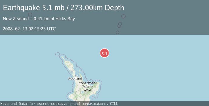
A 5.1 magnitude earthquake struck on SOUTH OF KERMADEC ISLANDS, at Wed, 13 Feb 2008 02:15:23 GMT. Depth: 273km. Reviewed by GFZ seismologists, this moderate quake occurred at a magnitude type of mb.
Magnitude
5.1
mb
Source
GFZ
Intensity
-
Agency Reports
1 Sources| Source | Magnitude | Depth | Time |
|---|---|---|---|
| GFZPrimary | 5.1 | 273 km | 18 years ago |
Earthquake Details
AutomaticEvent IDemsc_GFZ_20080213_0000045
Tsunami PotentialNo
Magnitude Typemb
Nearest Places
- Ngātoroirangi Seamount58.7 km
- Kibblewhite Seamount67.5 km
- Brothers Seamount99.7 km
- Giljanes Seamount106.3 km
- Rapuhia Seamount112.5 km
Comments
Join the discussion about this event.
Latest Earthquakes
1.8Mag
8 km SSW of Dayton, Nevada
Time3 minutes ago
Depth2.65 km
SourceUSGS (Automatic)
1.4Mag
6 km SSW of Idyllwild, CA
Time8 minutes ago
Depth15.02 km
SourceUSGS (Automatic)
2.4Mag
western Texas
Time10 minutes ago
Depth6.10 km
SourceVYT (Automatic)
2.8Mag
Southern Alaska
Time12 minutes ago
Depth14.04 km
SourceVYT (Automatic)
2.4Mag
Southern Alaska
Time14 minutes ago
Depth139.28 km
SourceVYT (Automatic)
Nearby Earthquakes
4.0Mag
SOUTH OF KERMADEC ISLANDS
Time11 months ago
Depth211.00 km
SourceNEIC (Automatic)
4.0Mag
SOUTH OF KERMADEC ISLANDS
Time3 years ago
Depth100.00 km
SourceGNS (Automatic)
4.0Mag
SOUTH OF KERMADEC ISLANDS
Time4 years ago
Depth33.00 km
SourceGNS (Automatic)
4.0Mag
SOUTH OF KERMADEC ISLANDS
Time1 year ago
Depth255.80 km
SourceGNS (Automatic)
6.1Mag
SOUTH OF KERMADEC ISLANDS
Time12 years ago
Depth211.00 km
SourceEMSC (Automatic)