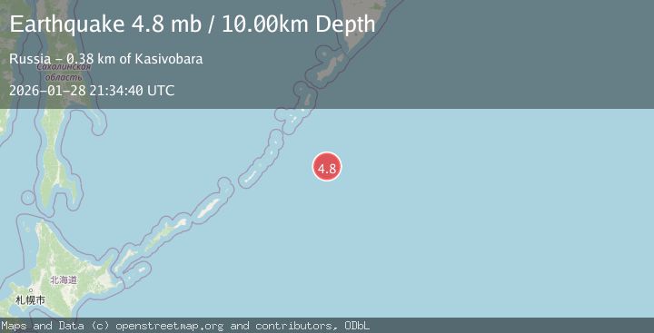
Earthquake EAST OF KURIL ISLANDS
Wed, 28 Jan 2026 21:34:40 GMT
Time1 week ago
Location
47.3020, 155.7320
Depth
10.0 KM
Event Summary
A 4.8 magnitude earthquake struck on EAST OF KURIL ISLANDS, at Wed, 28 Jan 2026 21:34:40 GMT. Depth: 10km. Reviewed by GFZ seismologists, this light quake occurred at a magnitude type of mb.
Magnitude
4.8
mb
Source
GFZ
Intensity
-
Agency Reports
1 Sources| Source | Magnitude | Depth | Time |
|---|---|---|---|
| GFZPrimary | 4.8 | 10 km | 1 week ago |
Earthquake Details
AutomaticEvent IDemsc_GFZ_20260128_0000390
Tsunami PotentialNo
Magnitude Typemb
Nearest Places
- Kuril Trench64.7 km
- Kuril-Kamchatka Trench64.7 km
- Vityaz Ridge95.0 km
- Svarichevskiy Seamount95.4 km
- Golovnin Seamount119.7 km
Comments
Join the discussion about this event.
Latest Earthquakes
2.2Mag
Sumbawa Region, Indonesia
Time3 minutes ago
Depth10.00 km
SourceBMKG (Automatic)
3.1Mag
Savu Sea
Time9 minutes ago
Depth18.85 km
SourceBMKG (Automatic)
0.4Mag
9 km SSE of Parkfield, CA
Time23 minutes ago
Depth-0.11 km
SourceUSGS (Automatic)
2.6Mag
Sumbawa Region, Indonesia
Time26 minutes ago
Depth14.20 km
SourceBMKG (Automatic)
2.4Mag
Java, Indonesia
Time34 minutes ago
Depth62.37 km
SourceBMKG (Automatic)
Nearby Earthquakes
4.8Mag
KURIL ISLANDS
Time1 week ago
Depth94.00 km
SourceEMSC (Automatic)
5.0Mag
KURIL ISLANDS
Time6 days ago
Depth75.30 km
SourceGFZ (Automatic)
4.6Mag
KURIL ISLANDS
Time4 hours ago
Depth39.90 km
SourceNEIC (Automatic)
5.5Mag
KURIL ISLANDS
Time1 week ago
Depth53.00 km
SourceEMSC (Automatic)
5.2Mag
EAST OF KURIL ISLANDS
Time1 week ago
Depth13.00 km
SourceEMSC (Automatic)