Earthquake NEAR EAST COAST OF KAMCHATKA
Thu, 19 Feb 2026 22:31:12 GMT
Time1 day ago
Location
51.1130, 157.5810
Depth
77.8 KM
Event Summary
A 4.8 magnitude earthquake struck on NEAR EAST COAST OF KAMCHATKA, at Thu, 19 Feb 2026 22:31:12 GMT. Depth: 77.8km. Reviewed by GFZ seismologists, this light quake occurred at a magnitude type of mb.
Magnitude
4.8
mb
Source
GFZ
Intensity
-
Agency Reports
4 Sources| Source | Magnitude | Depth | Time |
|---|---|---|---|
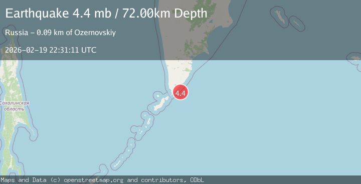
| GFZPrimary | 4.8 | 78 km | 1 day ago |
| NEIC | 4.4 | 71 km | 1 day ago |
| GSRAS | 4.4 | 60 km | 1 day ago |
| EMSC | 4.4 | 72 km | 1 day ago |
Earthquake Details
AutomaticEvent IDemsc_GFZ_20260219_0000369
Tsunami PotentialNo
Magnitude Typemb
Nearest Places
- 23.9 km
- 25.8 km
- 26.4 km
- 26.5 km
- 26.5 km
Comments
Join the discussion about this event.
Latest Earthquakes
2.8Mag
Antofagasta, Chile
Time2 minutes ago
Depth112.18 km
SourceVYT (Automatic)
2.2Mag
Sulawesi, Indonesia
Time4 minutes ago
Depth7.08 km
SourceBMKG
0.8Mag
7 km W of Cobb, CA
Time5 minutes ago
Depth1.85 km
SourceUSGS (Automatic)
3.0Mag
Antofagasta, Chile
Time11 minutes ago
Depth125.49 km
SourceVYT (Automatic)
2.8Mag
south of Alaska
Time12 minutes ago
Depth10.00 km
SourceVYT (Automatic)
Nearby Earthquakes
6.5Mag
NEAR EAST COAST OF KAMCHATKA
Time19 years ago
Depth60.00 km
SourceEMSC (Automatic)
5.3Mag
NEAR EAST COAST OF KAMCHATKA
Time6 months ago
Depth20.00 km
SourceEMSC (Automatic)
5.0Mag
NEAR EAST COAST OF KAMCHATKA
Time10 years ago
Depth80.00 km
SourceEMSC (Automatic)
6.1Mag
NEAR EAST COAST OF KAMCHATKA
Time4 days ago
Depth47.00 km
SourceEMSC (Automatic)
6.4Mag
KURIL ISLANDS
Time17 years ago
Depth40.00 km
SourceEMSC (Automatic)