Earthquake KERMADEC ISLANDS REGION
Thu, 26 Feb 2015 07:27:13 GMT
Time10 years ago
Location
-31.5800, 179.1200
Depth
170.0 KM
Event Summary
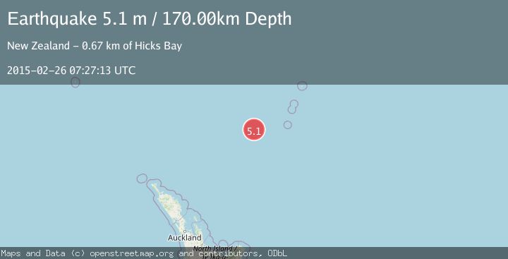
A 5.1 magnitude earthquake struck on KERMADEC ISLANDS REGION, at Thu, 26 Feb 2015 07:27:13 GMT. Depth: 170km. Reviewed by GNS seismologists, this moderate quake occurred at a magnitude type of m.
Magnitude
5.1
m
Source
GNS
Intensity
-
Agency Reports
1 Sources| Source | Magnitude | Depth | Time |
|---|---|---|---|
| GNSPrimary | 5.1 | 170 km | 10 years ago |
Earthquake Details
AutomaticEvent IDemsc_GNS_20150226_0000040
Tsunami PotentialNo
Magnitude Typem
Nearest Places
- Havre Trough131.1 km
- Oliver Knoll145.5 km
- Speight Knoll151.3 km
- Haungaroa Seamount164.8 km
- Annexation Point165.6 km
Comments
Join the discussion about this event.
Latest Earthquakes
2.7Mag
Kenai Peninsula, Alaska
Time4 minutes ago
Depth37.60 km
SourceVYT (Automatic)
1.1Mag
Washington
Time6 minutes ago
Depth0.00 km
SourceVYT (Automatic)
3.2Mag
Region Metropolitana, Chile
Time7 minutes ago
Depth99.73 km
SourceVYT (Automatic)
2.4Mag
Sumba Region, Indonesia
Time11 minutes ago
Depth17.38 km
SourceBMKG
2.1Mag
West Papua Region, Indonesia
Time12 minutes ago
Depth10.00 km
SourceBMKG
Nearby Earthquakes
4.0Mag
KERMADEC ISLANDS REGION
Time3 years ago
Depth416.00 km
SourceGNS (Automatic)
5.0Mag
KERMADEC ISLANDS REGION
Time19 years ago
Depth445.00 km
SourceEMSC (Automatic)
4.0Mag
KERMADEC ISLANDS REGION
Time1 year ago
Depth544.80 km
SourceNEIC (Automatic)
5.1Mag
KERMADEC ISLANDS REGION
Time9 years ago
Depth506.00 km
SourceEMSC (Automatic)
4.0Mag
KERMADEC ISLANDS REGION
Time5 years ago
Depth167.00 km
SourceGNS (Automatic)