Earthquake KERMADEC ISLANDS REGION
Sat, 07 Mar 2020 23:05:04 GMT
Time5 years ago
Location
-31.9800, 178.6200
Depth
288.0 KM
Event Summary
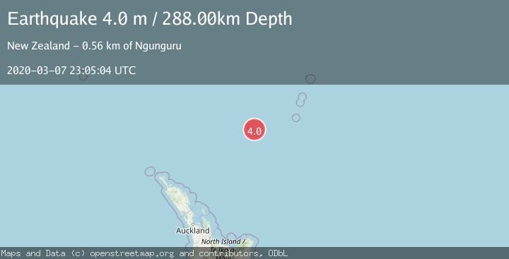
A 4.0 magnitude earthquake struck on KERMADEC ISLANDS REGION, at Sat, 07 Mar 2020 23:05:04 GMT. Depth: 288km. Reviewed by GNS seismologists, this light quake occurred at a magnitude type of m.
Magnitude
4.0
m
Source
GNS
Intensity
-
Agency Reports
1 Sources| Source | Magnitude | Depth | Time |
|---|---|---|---|
| GNSPrimary | 4.0 | 288 km | 5 years ago |
Earthquake Details
AutomaticEvent IDemsc_GNS_20200307_0000170
Tsunami PotentialNo
Magnitude Typem
Nearest Places
- Oliver Knoll167.2 km
- Speight Knoll174.5 km
- Haungaroa Seamount178.9 km
- Havre Trough185.6 km
- Kuiwai Seamount189.9 km
Comments
Join the discussion about this event.
Latest Earthquakes
1.2Mag
EASTERN TURKEY
Time18 minutes ago
Depth7.00 km
SourceAFAD (Automatic)
1.7Mag
western Texas
Time19 minutes ago
Depth0.00 km
SourceVYT (Automatic)
2.2Mag
AEGEAN SEA
Time19 minutes ago
Depth16.50 km
SourceKOERI (Automatic)
1.8Mag
western Texas
Time26 minutes ago
Depth0.00 km
SourceVYT (Automatic)
2.9Mag
SVALBARD REGION
Time27 minutes ago
Depth10.00 km
SourceBER (Automatic)
Nearby Earthquakes
3.9Mag
SOUTH OF KERMADEC ISLANDS
Time1 month ago
Depth644.50 km
SourceGNS (Automatic)
4.0Mag
SOUTH OF KERMADEC ISLANDS
Time3 years ago
Depth600.00 km
SourceGNS (Automatic)
4.0Mag
SOUTH OF KERMADEC ISLANDS
Time3 years ago
Depth500.00 km
SourceGNS (Automatic)
4.0Mag
SOUTH OF KERMADEC ISLANDS
Time4 years ago
Depth450.00 km
SourceGNS (Automatic)
4.0Mag
SOUTH OF KERMADEC ISLANDS
Time5 years ago
Depth299.00 km
SourceGNS (Automatic)