Earthquake western Texas
Fri, 20 Feb 2026 08:55:10 GMT
Time1 hour ago
Location
31.6614, -104.1386
Depth
0.0 KM
Event Summary
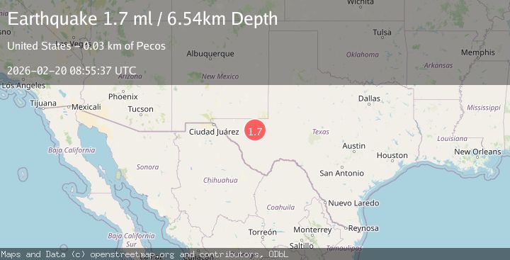
A 1.7 magnitude earthquake struck on western Texas, at Fri, 20 Feb 2026 08:55:10 GMT. Depth: 0km. Reviewed by VYT seismologists, this minor quake occurred at a magnitude type of earthquake.
Magnitude
1.7
earthquake
Source
VYT
Intensity
-
Agency Reports
2 Sources| Source | Magnitude | Depth | Time |
|---|---|---|---|
| VYTPrimary | 1.3 | 0 km | 1 hour ago |
| USGS | 1.7 | 7 km | 1 hour ago |
Earthquake Details
AutomaticEvent IDvyt_1zcaes1yydpye
Tsunami PotentialNo
Magnitude Typeearthquake
Nearest Places
- Old Michigan Mine2.0 km
- Monument Draw2.3 km
- Kohen Windmill4.1 km
- Rustler Hills4.4 km
- Monument Windmill5.1 km
Comments
Join the discussion about this event.
Latest Earthquakes
1.2Mag
EASTERN TURKEY
Time1 hour ago
Depth7.00 km
SourceAFAD (Automatic)
2.2Mag
AEGEAN SEA
Time1 hour ago
Depth16.50 km
SourceKOERI (Automatic)
1.8Mag
western Texas
Time1 hour ago
Depth0.00 km
SourceVYT (Automatic)
2.2Mag
Sulawesi, Indonesia
Time1 hour ago
Depth5.11 km
SourceBMKG
2.4Mag
SAN FRANCISCO BAY AREA, CALIF.
Time1 hour ago
Depth14.90 km
SourceNC (Automatic)
Nearby Earthquakes
2.2Mag
WESTERN TEXAS
Time1 month ago
Depth5.50 km
SourceTX (Automatic)
2.7Mag
western Texas
Time3 days ago
Depth0.00 km
SourceVYT (Automatic)
1.8Mag
49 km NW of Toyah, Texas
Time2 days ago
Depth3.95 km
SourceUSGS (Automatic)
1.8Mag
50 km W of Mentone, Texas
Time1 day ago
Depth3.75 km
SourceUSGS (Automatic)
1.7Mag
50 km W of Mentone, Texas
Time2 days ago
Depth5.67 km
SourceUSGS (Automatic)