Earthquake KERMADEC ISLANDS REGION
Thu, 01 Oct 2020 15:50:42 GMT
Time5 years ago
Location
-31.5400, 179.8200
Depth
476.0 KM
Event Summary
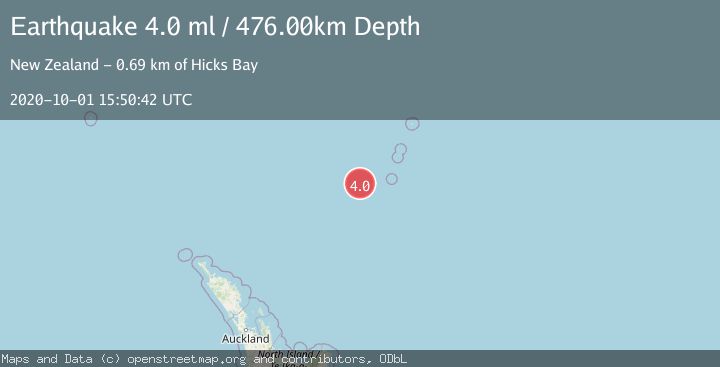
A 4.0 magnitude earthquake struck on KERMADEC ISLANDS REGION, at Thu, 01 Oct 2020 15:50:42 GMT. Depth: 476km. Reviewed by GNS seismologists, this light quake occurred at a magnitude type of ml.
Magnitude
4.0
ml
Source
GNS
Intensity
-
Agency Reports
1 Sources| Source | Magnitude | Depth | Time |
|---|---|---|---|
| GNSPrimary | 4.0 | 476 km | 5 years ago |
Earthquake Details
AutomaticEvent IDemsc_GNS_20201001_0000301
Tsunami PotentialNo
Magnitude Typeml
Nearest Places
- Havre Trough64.6 km
- Oliver Knoll106.4 km
- Speight Knoll109.5 km
- Havre Rock113.9 km
- Havre Seamount117.9 km
Comments
Join the discussion about this event.
Latest Earthquakes
4.5Mag
Tarapaca, Chile
Time5 minutes ago
Depth128.42 km
SourceVYT (Automatic)
1.5Mag
4 km NE of Muscoy, CA
Time11 minutes ago
Depth7.69 km
SourceUSGS (Automatic)
0.8Mag
6 km W of Cobb, CA
Time12 minutes ago
Depth0.90 km
SourceUSGS (Automatic)
1.4Mag
Southern Alaska
Time17 minutes ago
Depth70.19 km
SourceVYT (Automatic)
1.3Mag
14 km SW of Toms Place, CA
Time18 minutes ago
Depth5.49 km
SourceUSGS (Automatic)
Nearby Earthquakes
5.3Mag
KERMADEC ISLANDS REGION
Time1 year ago
Depth432.00 km
SourceEMSC (Automatic)
5.4Mag
KERMADEC ISLANDS REGION
Time19 years ago
Depth400.00 km
SourceEMSC (Automatic)
5.6Mag
KERMADEC ISLANDS REGION
Time2 years ago
Depth446.00 km
SourceEMSC (Automatic)
4.0Mag
KERMADEC ISLANDS REGION
Time2 years ago
Depth300.00 km
SourceGNS (Automatic)
4.0Mag
KERMADEC ISLANDS REGION
Time3 years ago
Depth233.00 km
SourceNEIC (Automatic)