Earthquake SOUTH OF KERMADEC ISLANDS
Fri, 02 Jul 2021 14:36:12 GMT
Time4 years ago
Location
-33.6500, 179.0100
Depth
356.0 KM
Event Summary
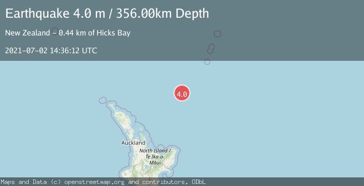
A 4.0 magnitude earthquake struck on SOUTH OF KERMADEC ISLANDS, at Fri, 02 Jul 2021 14:36:12 GMT. Depth: 356km. Reviewed by GNS seismologists, this light quake occurred at a magnitude type of m.
Magnitude
4.0
m
Source
GNS
Intensity
-
Agency Reports
1 Sources| Source | Magnitude | Depth | Time |
|---|---|---|---|
| GNSPrimary | 4.0 | 356 km | 4 years ago |
Earthquake Details
AutomaticEvent IDemsc_GNS_20210702_0000138
Tsunami PotentialNo
Magnitude Typem
Nearest Places
- Ngātoroirangi Seamount73.4 km
- Kibblewhite Seamount107.9 km
- Kuiwai Seamount113.0 km
- Giljanes Seamount131.2 km
- Rapuhia Seamount135.3 km
Comments
Join the discussion about this event.
Latest Earthquakes
1.8Mag
Tarapaca, Chile
Time48 seconds ago
Depth65.31 km
SourceVYT (Automatic)
1.2Mag
Southeastern Alaska
Time5 minutes ago
Depth14.77 km
SourceVYT (Automatic)
2.1Mag
Central Alaska
Time10 minutes ago
Depth29.79 km
SourceVYT (Automatic)
1.7Mag
7 km WNW of Hilltop, Texas
Time11 minutes ago
Depth9.56 km
SourceUSGS (Automatic)
2.3Mag
Tarapaca, Chile
Time12 minutes ago
Depth77.03 km
SourceVYT (Automatic)
Nearby Earthquakes
4.0Mag
SOUTH OF KERMADEC ISLANDS
Time4 years ago
Depth300.00 km
SourceGNS (Automatic)
4.0Mag
SOUTH OF KERMADEC ISLANDS
Time3 years ago
Depth300.00 km
SourceGNS (Automatic)
4.0Mag
SOUTH OF KERMADEC ISLANDS
Time3 years ago
Depth347.00 km
SourceGNS (Automatic)
4.0Mag
SOUTH OF KERMADEC ISLANDS
Time2 years ago
Depth217.00 km
SourceGNS (Automatic)
4.0Mag
SOUTH OF KERMADEC ISLANDS
Time4 years ago
Depth33.00 km
SourceGNS (Automatic)