Earthquake Southeastern Alaska
Fri, 20 Feb 2026 00:48:37 GMT
Time1 hour ago
Location
60.5199, -140.2399
Depth
14.8 KM
Event Summary
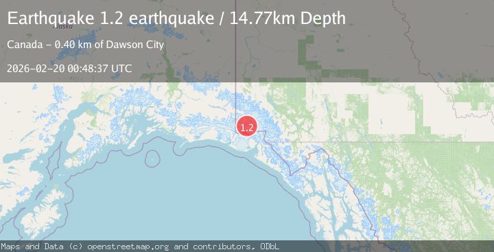
A 1.2 magnitude earthquake struck on Southeastern Alaska, at Fri, 20 Feb 2026 00:48:37 GMT. Depth: 14.7705078125km. Reviewed by VYT seismologists, this minor quake occurred at a magnitude type of earthquake.
Magnitude
1.2
earthquake
Source
VYT
Intensity
-
Agency Reports
1 Sources| Source | Magnitude | Depth | Time |
|---|---|---|---|
| VYTPrimary | 1.2 | 15 km | 1 hour ago |
Earthquake Details
AutomaticEvent IDvyt_1u2umiatos27l
Tsunami PotentialNo
Magnitude Typeearthquake
Nearest Places
- McArthur Peak9.7 km
- Mount Logan10.4 km
- Marker Lake13.8 km
- King Peak23.7 km
- Mount King George24.8 km
Comments
Join the discussion about this event.
Latest Earthquakes
3.5Mag
northern Colombia
Time59 minutes ago
Depth205.20 km
SourceVYT (Automatic)
1.8Mag
Southern California
Time1 hour ago
Depth22.83 km
SourceVYT (Automatic)
2.7Mag
Halmahera, Indonesia
Time1 hour ago
Depth92.18 km
SourceBMKG
2.6Mag
Poland
Time1 hour ago
Depth5.00 km
SourceVYT (Automatic)
2.0Mag
Antofagasta, Chile
Time1 hour ago
Depth69.34 km
SourceVYT (Automatic)
Nearby Earthquakes
3.1Mag
SOUTHERN YUKON TERRITORY, CANADA
Time1 month ago
Depth5.00 km
SourceNEIC (Automatic)
3.1Mag
Southeastern Alaska
Time5 days ago
Depth0.00 km
SourceVYT (Automatic)
1.6Mag
Southeastern Alaska
Time1 week ago
Depth0.00 km
SourceVYT (Automatic)
3.3Mag
SOUTHERN YUKON TERRITORY, CANADA
Time1 month ago
Depth5.00 km
SourceNEIC (Automatic)
3.0Mag
SOUTHERN YUKON TERRITORY, CANADA
Time1 month ago
Depth5.00 km
SourceNEIC (Automatic)