Earthquake SOUTH OF KERMADEC ISLANDS
Mon, 26 Feb 2024 09:55:53 GMT
Time1 year ago
Location
-32.4419, 179.7189
Depth
255.7 KM
Event Summary
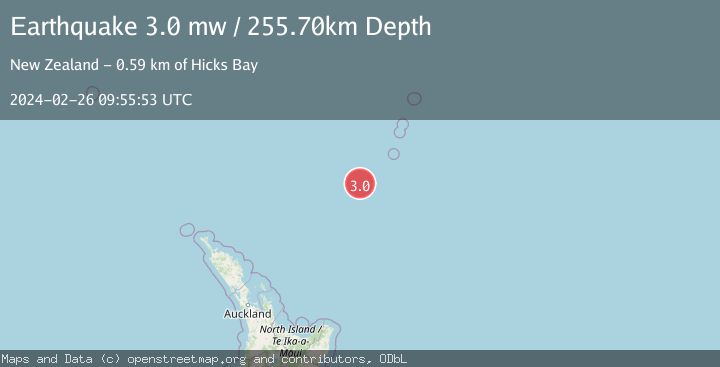
A 3.0 magnitude earthquake struck on SOUTH OF KERMADEC ISLANDS, at Mon, 26 Feb 2024 09:55:53 GMT. Depth: 255.7km. Reviewed by GNS seismologists, this minor quake occurred at a magnitude type of mw.
Magnitude
3.0
mw
Source
GNS
Intensity
-
Agency Reports
1 Sources| Source | Magnitude | Depth | Time |
|---|---|---|---|
| GNSPrimary | 3.0 | 256 km | 1 year ago |
Earthquake Details
AutomaticEvent IDemsc_GNS_20240226_0000240
Tsunami PotentialNo
Magnitude Typemw
Nearest Places
- Oliver Knoll57.4 km
- Haungaroa Seamount63.8 km
- Speight Knoll65.2 km
- Kuiwai Seamount87.1 km
- Star of Bengal Bank110.9 km
Comments
Join the discussion about this event.
Latest Earthquakes
2.9Mag
OFFSHORE EL SALVADOR
Time12 minutes ago
Depth22.00 km
SourceINET (Automatic)
1.2Mag
EASTERN TURKEY
Time20 minutes ago
Depth7.00 km
SourceAFAD (Automatic)
1.7Mag
western Texas
Time21 minutes ago
Depth0.00 km
SourceVYT (Automatic)
2.2Mag
AEGEAN SEA
Time21 minutes ago
Depth16.50 km
SourceKOERI (Automatic)
1.8Mag
western Texas
Time28 minutes ago
Depth0.00 km
SourceVYT (Automatic)
Nearby Earthquakes
4.0Mag
SOUTH OF KERMADEC ISLANDS
Time5 years ago
Depth453.00 km
SourceGNS (Automatic)
4.0Mag
SOUTH OF KERMADEC ISLANDS
Time5 years ago
Depth500.00 km
SourceGNS (Automatic)
5.1Mag
SOUTH OF KERMADEC ISLANDS
Time18 years ago
Depth278.00 km
SourceEMSC (Automatic)
4.0Mag
SOUTH OF KERMADEC ISLANDS
Time5 years ago
Depth420.00 km
SourceGNS (Automatic)
3.7Mag
SOUTH OF KERMADEC ISLANDS
Time1 month ago
Depth331.80 km
SourceGNS (Automatic)