Earthquake NORTH ISLAND OF NEW ZEALAND
Mon, 12 Jan 2026 09:06:55 GMT
Time1 month ago
Location
-38.9088, 175.8951
Depth
78.5 KM
Event Summary
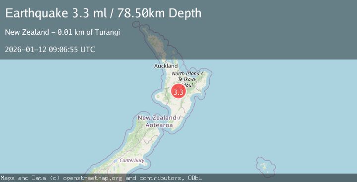
A 3.3 magnitude earthquake struck on NORTH ISLAND OF NEW ZEALAND, at Mon, 12 Jan 2026 09:06:55 GMT. Depth: 78.5km. Reviewed by GNS seismologists, this minor quake occurred at a magnitude type of ml.
Magnitude
3.3
ml
Source
GNS
Intensity
-
Agency Reports
1 Sources| Source | Magnitude | Depth | Time |
|---|---|---|---|
| GNSPrimary | 3.3 | 79 km | 1 month ago |
Earthquake Details
AutomaticEvent IDemsc_GNS_20260112_0000132
Tsunami PotentialNo
Magnitude Typeml
Nearest Places
- Oruatua0.4 km
- Tauranga Taupo River0.5 km
- Tauranga River1.1 km
- Te Rangiita1.2 km
- Manowharangi Bay1.3 km
Comments
Join the discussion about this event.
Latest Earthquakes
1.1Mag
31 km WSW of Ackerly, Texas
Time7 minutes ago
Depth3.93 km
SourceUSGS (Automatic)
2.4Mag
West Papua Region, Indonesia
Time14 minutes ago
Depth10.00 km
SourceBMKG
3.3Mag
Talaud Islands, Indonesia
Time15 minutes ago
Depth10.00 km
SourceBMKG
1.1Mag
4 km NW of The Geysers, CA
Time15 minutes ago
Depth3.39 km
SourceUSGS (Automatic)
1.0Mag
33 km WSW of Ackerly, Texas
Time16 minutes ago
Depth4.44 km
SourceUSGS (Automatic)
Nearby Earthquakes
5.0Mag
NORTH ISLAND OF NEW ZEALAND
Time3 years ago
Depth90.00 km
SourceEMSC (Automatic)
3.0Mag
NORTH ISLAND OF NEW ZEALAND
Time3 years ago
Depth5.00 km
SourceGNS (Automatic)
5.4Mag
NORTH ISLAND OF NEW ZEALAND
Time3 years ago
Depth10.00 km
SourceEMSC (Automatic)
5.1Mag
NORTH ISLAND OF NEW ZEALAND
Time6 years ago
Depth8.00 km
SourceEMSC (Automatic)
3.0Mag
NORTH ISLAND OF NEW ZEALAND
Time2 years ago
Depth6.30 km
SourceGNS (Automatic)